

Historical information
This atlas, printed in 1944, details not only the geographic and political boundaries of the world as it was at that time but also the snap shot of life of the time. This snap shot in time covers the major Australian cities, the major farming, grazing, industrial and sporting/recreational activities. Also there are snap shots of similar activities from other global areas. The period also covered World War II, detailed by a photo of "shell making", munitions, required by Australian soldiers. The great political and territorial changes made as a result of World War II can be clearly identified for example , Israel (the Jewish homeland). The various prewar colonies of major European nations.
Significance
This atlas was used by children of a Kiewa Valley family and shows the value and the general educational exposure that these children had at this time. The rural setting and within the backdrop of a world war did not severely alter the life style of children in this region. The "news reels" shown in cinemas of cities and larger towns were the only visual realisations of major events of global significance available to these children. The information provided by this atlas allowed students to glimpse at what the "outside world" was. The majority of these students would possibly never see these regions for themselves. The great communication facilities of the late 1900s and beyond, was still only science fiction.
Physical description
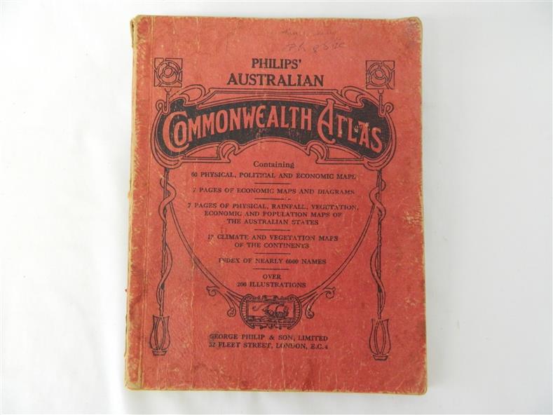
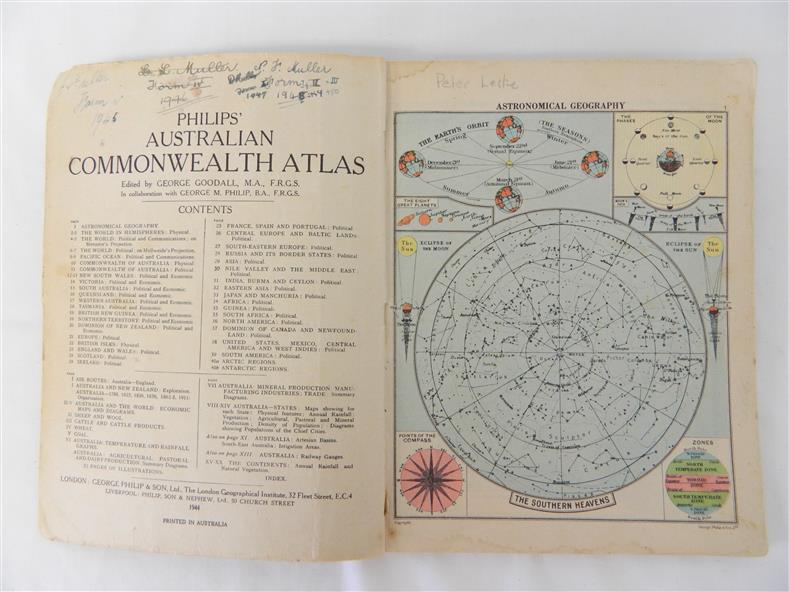
This atlas has a thick (350 g/m) red cardboard cover with bold black lettering and shading. The cover is set out within a shield like frame. The shield is held up by two square markings, each with a four part circular pattern and a cord entwining two pendulum structures ending with a bowl figure at the bottom. There is a semi circular form enclosing a printed book contents list. The inside cover has the atlas title and contents and the publisher details. The atlas contain 56 pages of world and Australian maps, vegetation and rainfall maps. Within this atlas there are 27 double sided pages of black and white photographs depicting life styles, buildings, landscapes and prominent and significant to Australia males from 1652 to 1944. The pages are of approximately 200 g/m and have the yellow aged appearance.
Inscriptions & markings
On front cover "Philips' Australian COMMONWEALTH ATLAS" and underneath "Containing" underneath "60 PHYSICAL, POLITICAL AND ECONOMIC MAPS". Publisher George Philip & Son, Limited 32 Fleet Street, London E.C. 4. Inside cover are: written, in freehand and in ink the following names and dates; "J.Muller Form V 1945", "L L Muller Form IV 1946", "N.J. Muller Form I + II + III 1948 +49 + 50" and "D Muller Form I 1949". also handwritten and in pencil is "Peter Leslie". On the last page is a small freehand sketch of Australia in biro.