Historical information
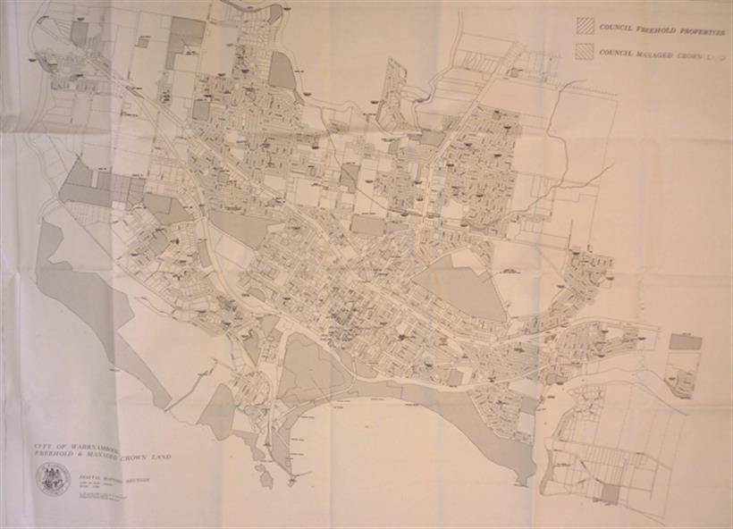
This map was drawn up by the City of Warrnambool Council staff to provide information on the land in Warrnambool that was owned or managed by the Council.
Significance
This map is of considerable importance as it gives information in map form of the Warrnambool land that is owned (freehold) by the City of Warrnambool and the land that is managed Crown land. This is of interest to researchers and those seeking information on specific areas of land in Warrnambool.
Physical description
This map has digital mapping. The map has a white background with black and white mapping details of Warrnambool. It has the City of Warrnambool seal.
Inscriptions & markings
Scale of map: 1:7500