


Historical information
The Leigh River is a major tributary and catchment of the Barwon River. Fed by the Yarrowee River that rises near Ballarat, the Yarrowee reaches its confluence to form the Leigh in the vicinity of Cambrian Hill and Golden Plains Shire. The Leigh River rises below Mount Mercer and flows generally south, joined by three minor tributaries before reaching its confluence with the Barwon River, southeast of the central business district of Inverleigh. The river descends 265 metres (869 ft) over its 61-kilometre (38 mi) course. (https://en.wikipedia.org/wiki/Leigh_River_(Victoria)
Significance
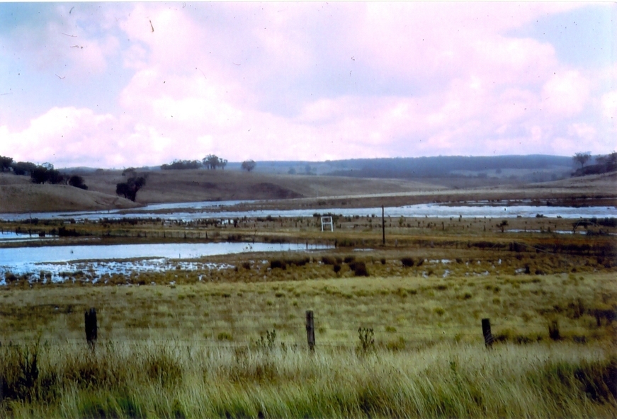
Relates to historical information about flooding of the Leigh River in 1933.
Relevant to the history of Garibaldi and Durham Lead.
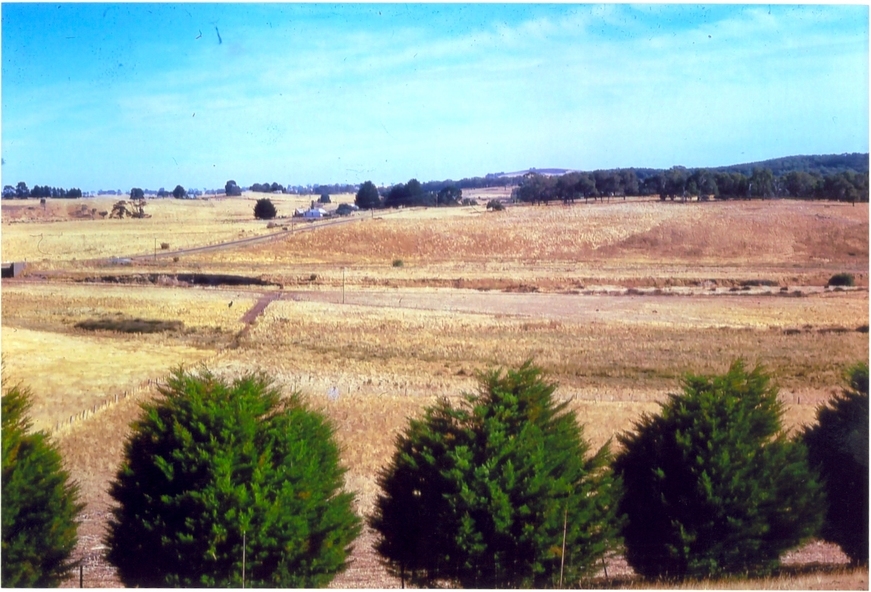
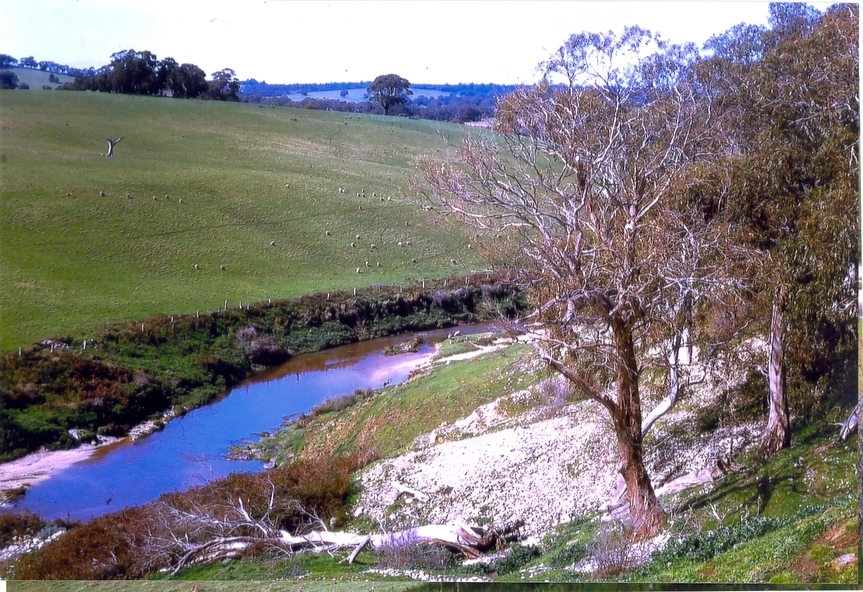
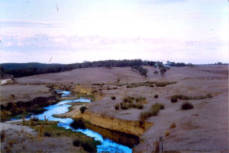
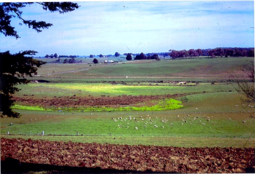
Physical description
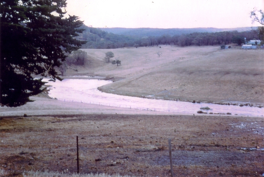
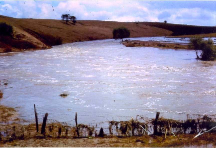
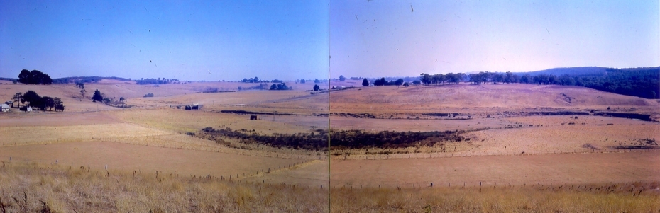
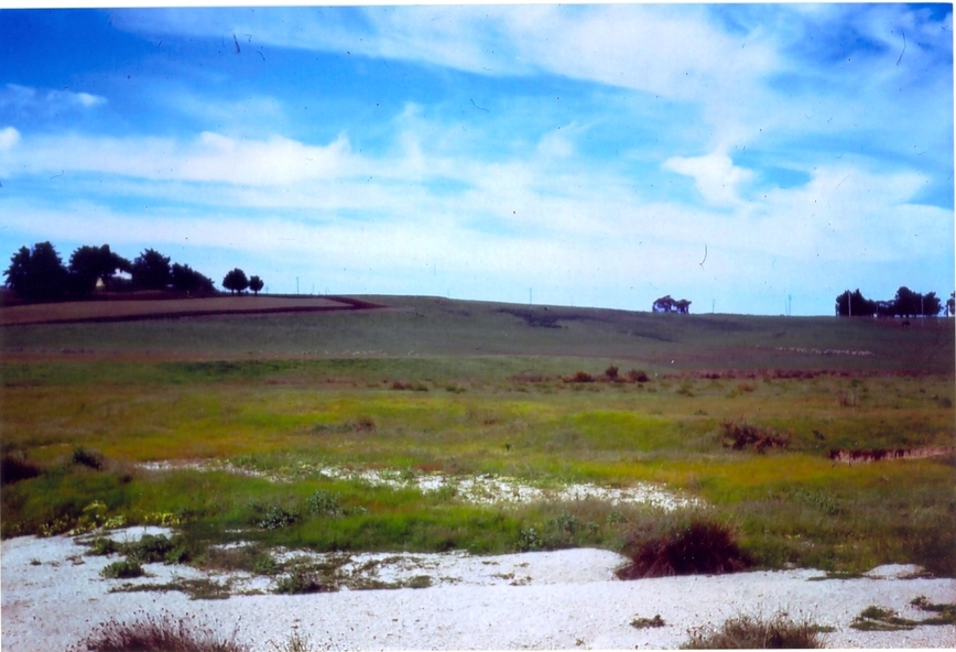
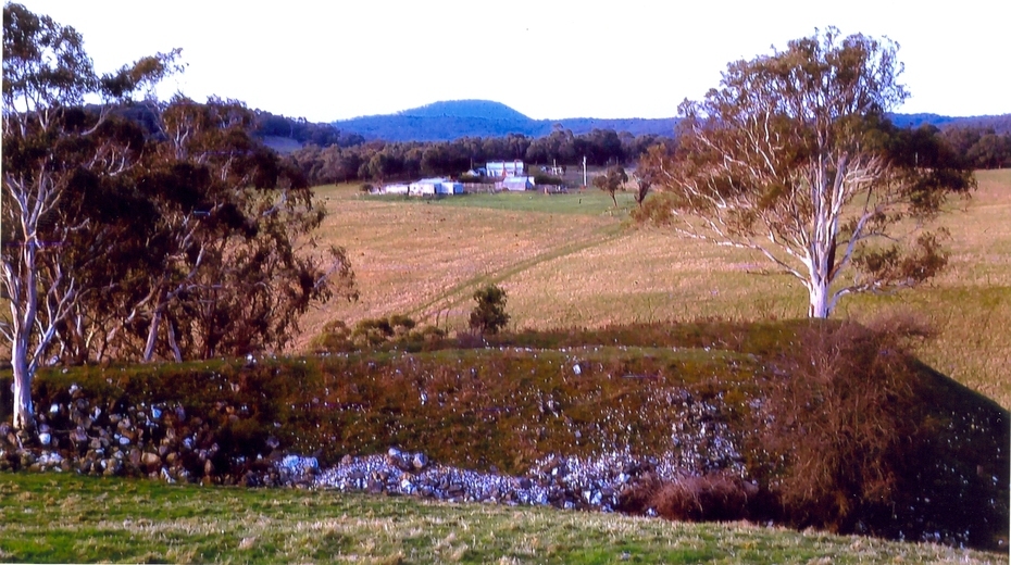
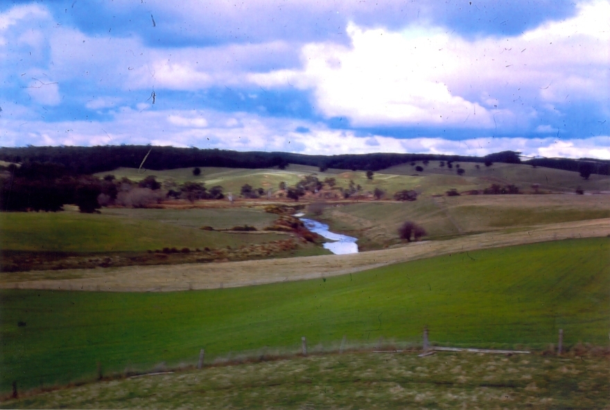
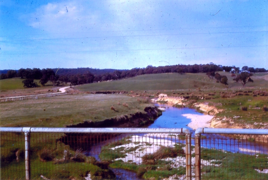
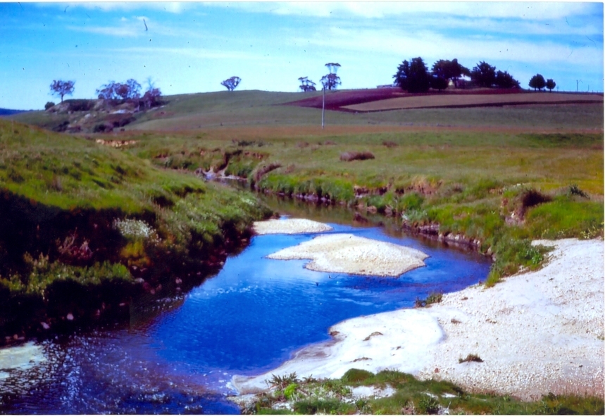
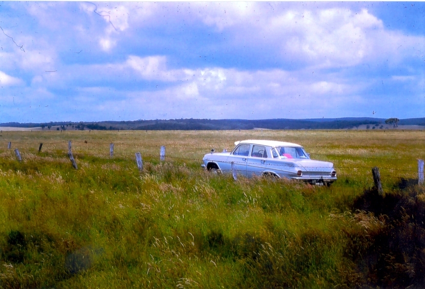
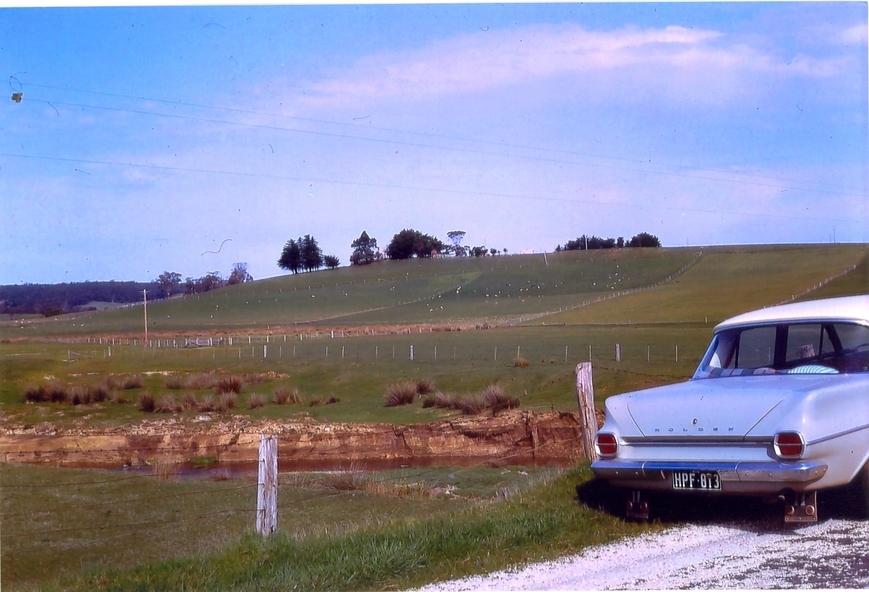
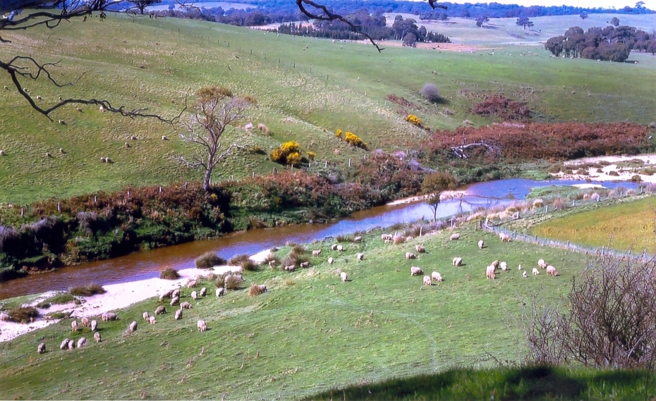
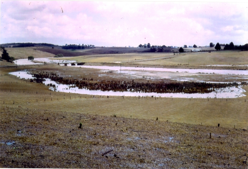
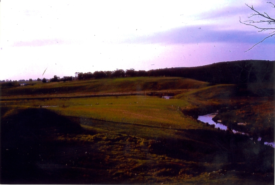
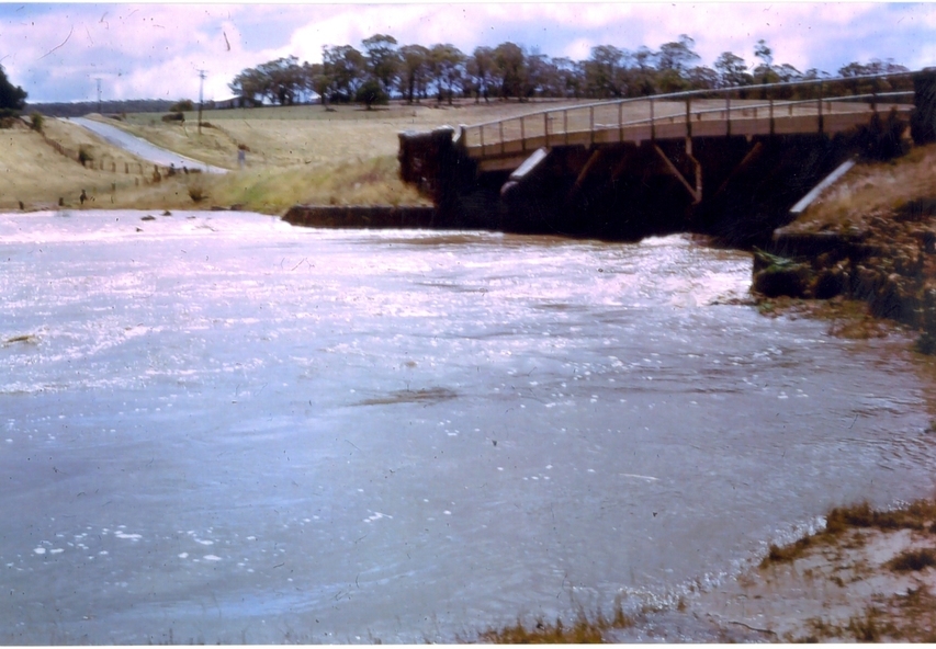
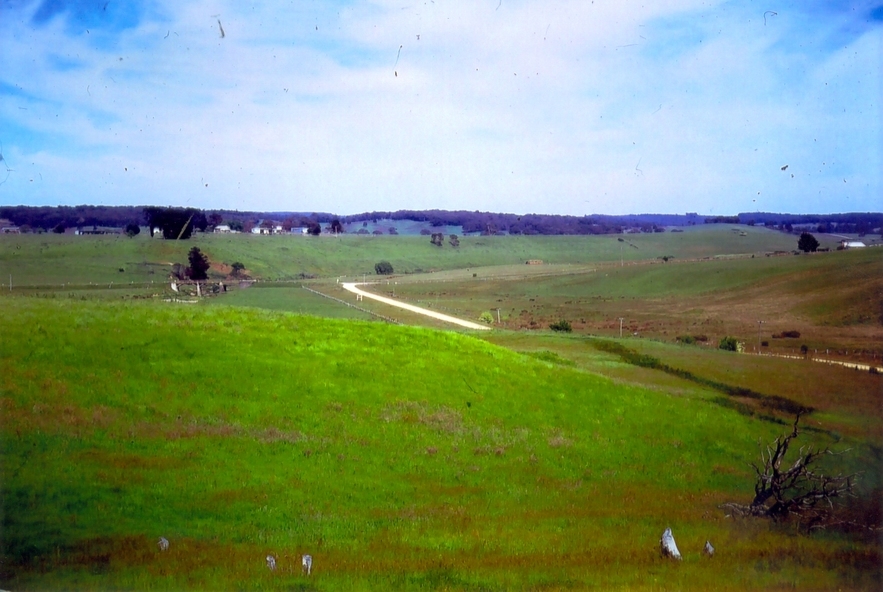
A number of colour photographs showing the Leigh River between Garibaldi and Durham Lead, Victoria,
.1 - .3) photographs of the Leigh River in flood
.4 - .18) general photos of the Leigh River and surrounding countryside
.19) broad angle photograph of the Leigh River and surrounding countryside