

Historical information
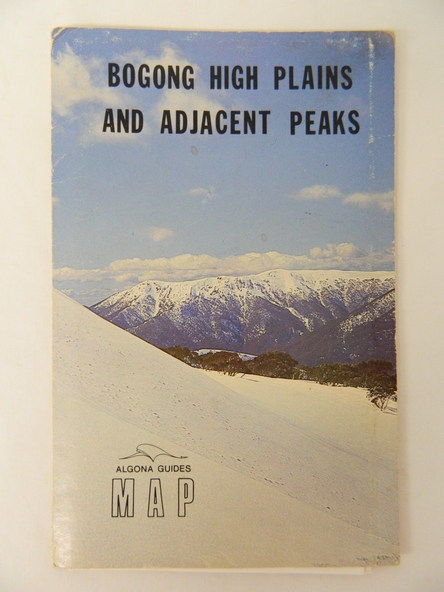
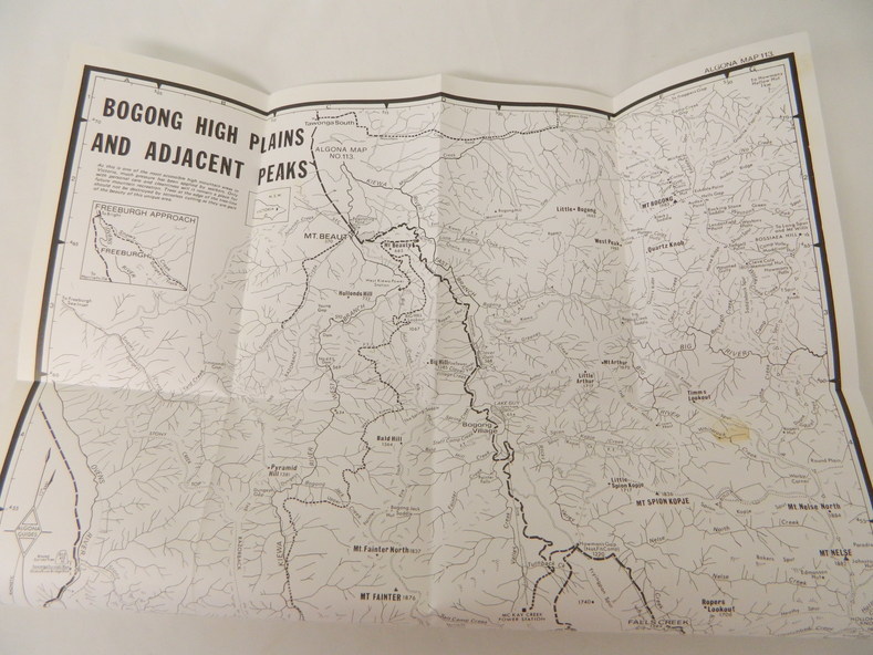
This map was produced as a result of the 'pressure from walkers' who are interested in climbing the accessible peaks on the Bogong High Plains. Places, huts and rivers are named and indexed. Contours are not given. Heights of mountains are in metres.
Significance
The Bogong High Plains is a popular walking area and a National Park. This map identifies the mountains and peaks in the area at the time of publication. Some of the huts have since been destroyed by fire and Mt Niggerhead has since been renamed to Jaithmathang.
Physical description
Blue and white cardboard folded in half containing a folded black and white map of Bogong High Plains and Adjacent Peaks with index.