


Historical information
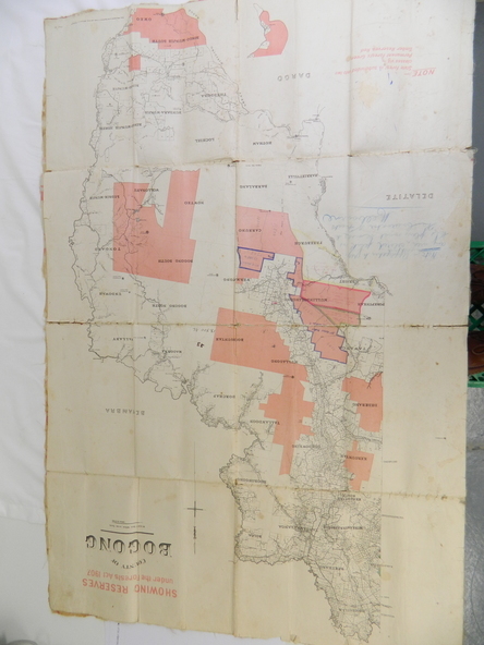
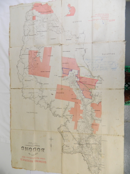
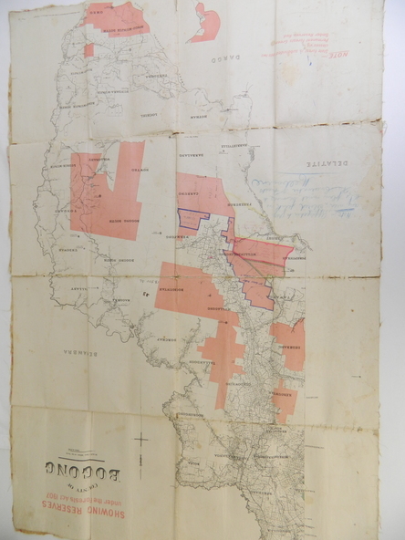
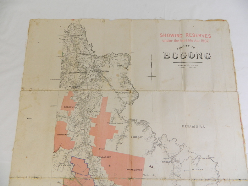
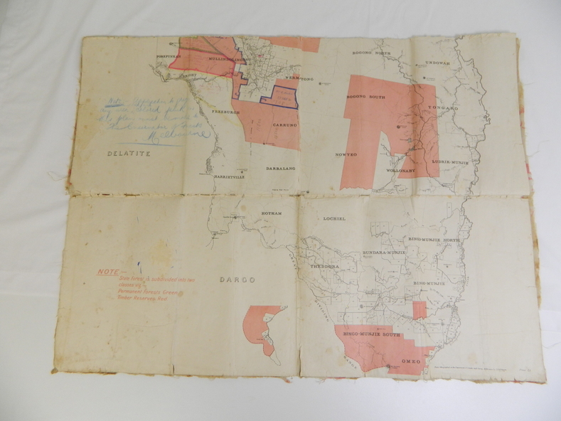
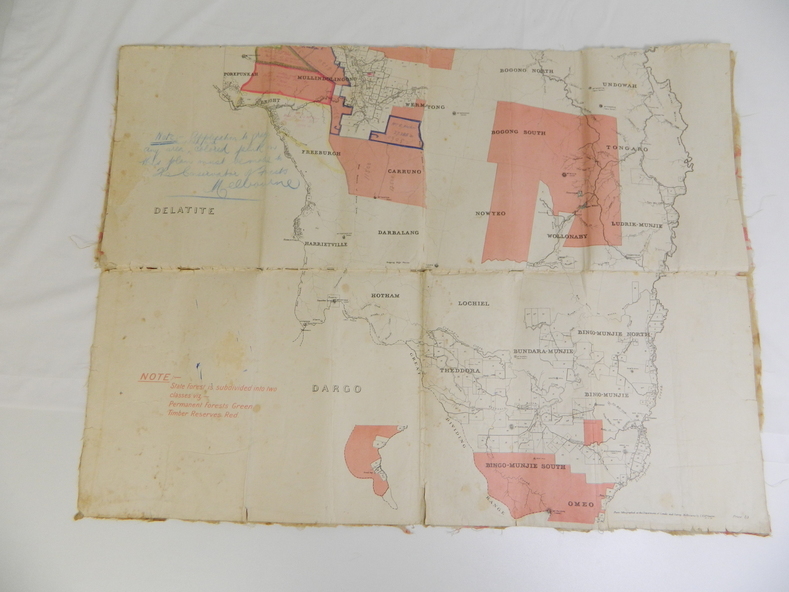
This map has been owned by the Ryder Family of the Kiewa Valley for possibly over 100 years (1905?). It was used when the family mustered and maintained cattle on their grazing lease on the Bogong High Plains. Obviously a field map used on these occasions.
Significance
This map was used by the Ryder Family who lived in the Kiewa Valley and who grazed cattle on their lease on the Bogong High Plains during summer.
Physical description
Showing reserves Under the Forest Act of 1907. This is a paper map which has been mounted or glued on pink and cream floral cotton. It is obvious by its poor condition that it has been used outdoors in the field. It is not in very good condition as it has been folded 4 times (8 divisions) and it is badly worn and cracked in the creases.
Inscriptions & markings
Photo Lithographed at the Department of Lands and Surveys by T.E.McGauran 27/11/05 Price 1/3d.
Scale - 2 miles to an inch. F.S. Hilcke Oct. 2nd 1905.