Historical information
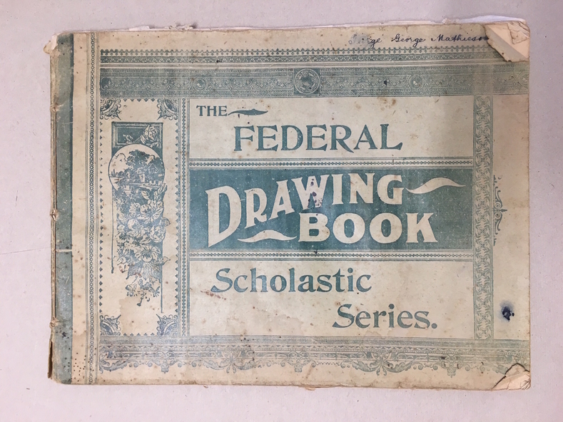
This school book which was owned by George Mathieson contains maps and information on different countries around the world. It is handwritten and is probably of secondary school level. The maps appear to have been traced and hand-drawn and coloured. There is a loose newspaper map of the Dardenelles loose in the book.
Significance
This book as an example of school work and geography in the early 20th century, has social and historical significance.
Physical description
Pale green light card cover with dark green pattern and text. Back cover is plain. It contains alternate pages of tracing paper in between normal pages. Bound with cotton? thread
Inscriptions & markings
George mathieson, written in ink on front cover.