

Historical information
Silk and rayon maps were produced by Great Britain (some 1.75 million in total), the United States (c.7.5 million) and Australia during World War II. They were issued to Allied military personnel as part of 'escape and evasion' kits.
Significance
This map, printed on rayon, is an original British 'escape and evasion' kit map from World War II.
Physical description
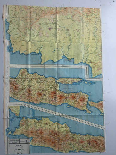
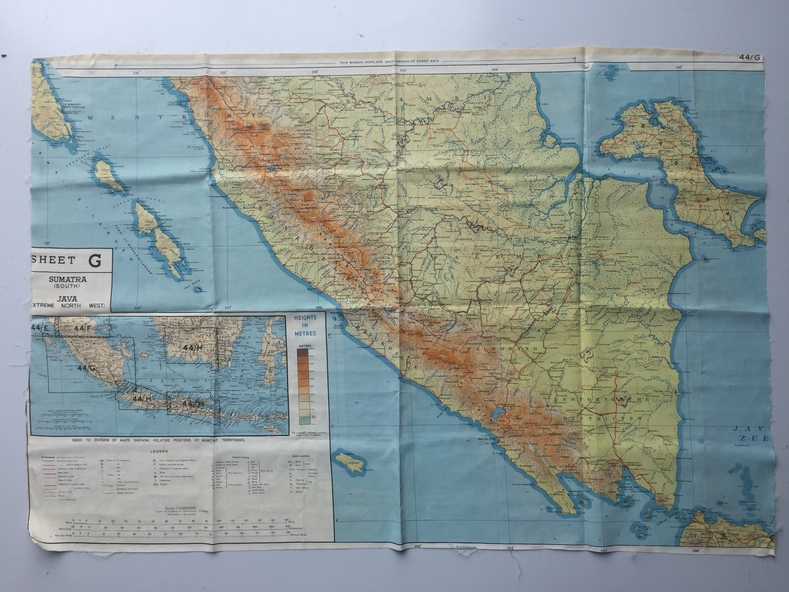
A multi-coloured, contoured, double-sided map printed on rayon, 1944 Series South West Pacific Area (SWPA) and Asia
Inscriptions & markings
Sheet G Sumatra (South) and Java (Extreme North West) and, on the reverse, Sheet H Borneo (South West), Java and Sumatra (Extreme South)