

Historical information
Silk and rayon maps were produced by the United States (c. 7.5 million in total), Great Britain (some 1.75 million in total) and Australia during World War II. They were issued to Allied military personnel as part of 'escape and evasion' kits.
Significance
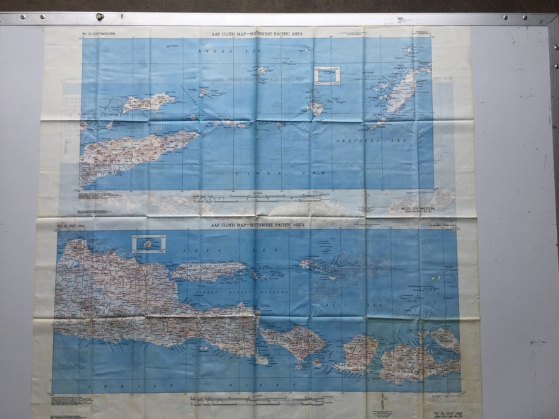
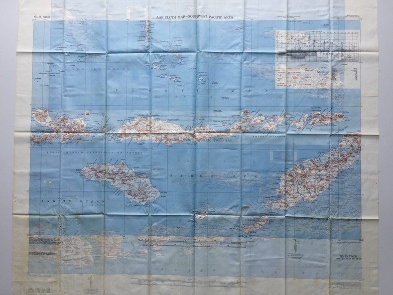
This map, printed on acetate rayon, is an original US 'escape and evasion' kit map from World War II.
Physical description
A multi-coloured, contoured, double-sided map printed on acetate rayon
Inscriptions & markings
AAF Cloth Map - Southwest Pacific Area
Side 1 - No. 22 Southwestern and No. 26 East Java
Side 2 - No. 25 Timor