


Historical information
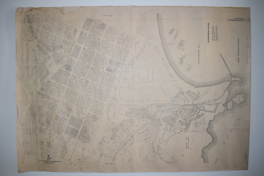
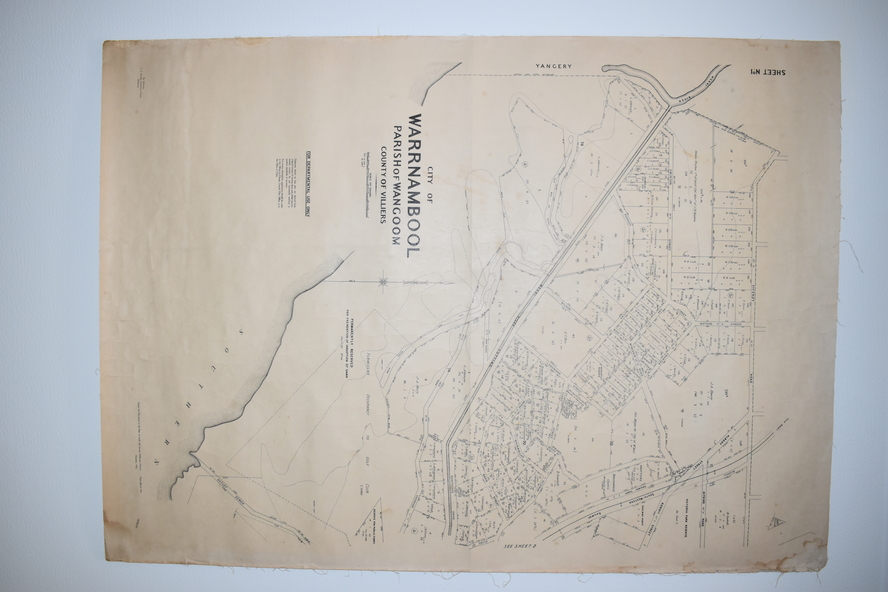
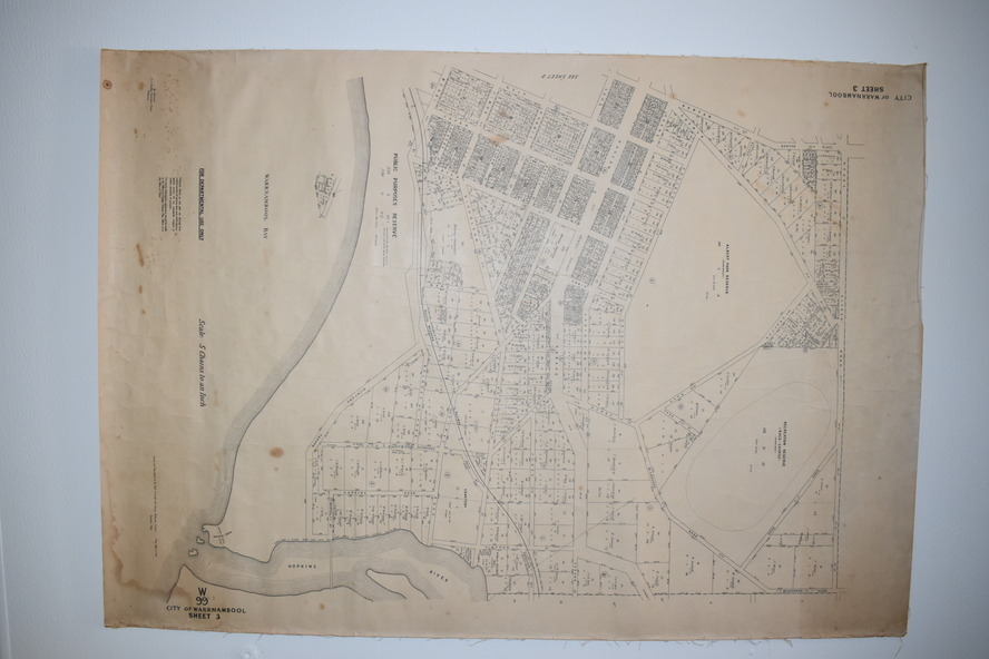
These maps were produced in 1948 and they contain maps of allotments within the
city of Warrnambool, including the Central Business District, up to 1948. The details
given on each allotment show the allotment and section numbers, the measurement in
acres, the name of the original purchaser of the lot and the date of the first sale. The
Warrnambool and District Historical Society owns several copies of these maps but
these ones are originals.
Significance
These three maps are of great significance because they give the names of land
purchasers in Warrnambool from the date of the first land sales in 1847. They are a
most valuable research tool and can be scanned and photocopied etc.
Physical description
These are three sheets of cream paper pasted on to linen. The sheets have black and
white printing and map work. Some of the edges are a little frayed and there is some
staining, particularly on the backs of the sheets.
Inscriptions & markings
‘City of Warrnambool Parish of Wangoom County of Villiers Sheet 1’
‘City of Warrnambool Parish of Wangoom County of Villiers Sheet 2’
‘City of Warrnambool Parish of Wangoom County of Villiers Sheet 3’