


Historical information
The Victorian Environmental Assessment Council and the former Environment Conservation Council (ECC) and Land Conservation Council (LCC) have completed 36 land use investigations over more than 35 years, including 27 regional reviews.
They provide a framework for use of Public Land in Victoria.
The Land Conservation Council was established by the Land Conservation Act 1970.
Significance
These maps provide an assessment of the Alpine area at the time the maps were created. Some of the topics eg. Rainfall and water resources may change over the years thus providing a comparative analysis.
Others may provide information for future development such as mineral exploration, building of a dam / tunnel etc.
Physical description
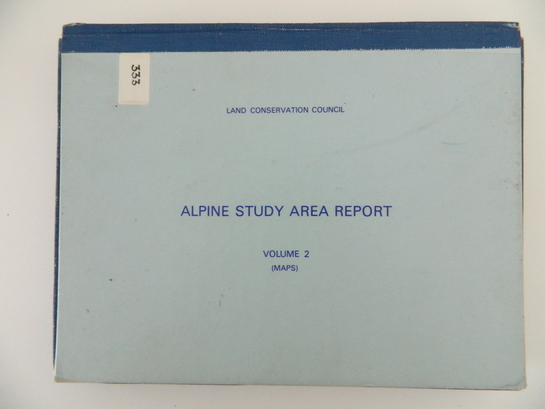
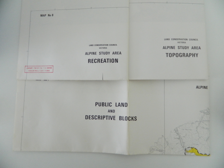
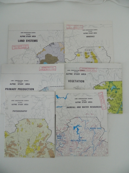
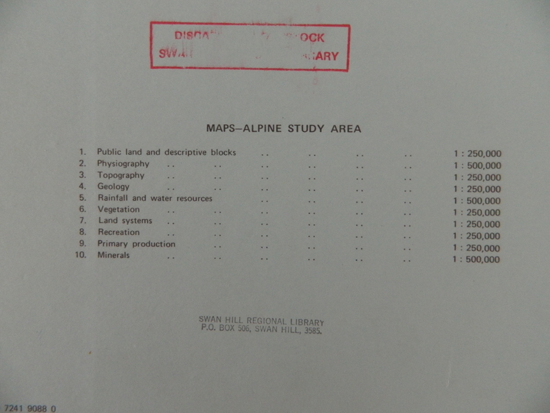
Blue box shaped folder containing 9 of 10 Maps of the Alpine Study Area produced by the Land Conservation Council. Maps include
1. Public land and descriptive blocks. 2. Physiography. 3. Topography. 4. Geology (missing). 5. Rainfall and water resources. 6. Vegetation
7. Land systems. 8. Recreation. 9. Primary production. 10. Minerals
Inscriptions & markings
Ex library item. Stamped in red "Discarded From Stock / Swan Hill Regional Library