Physical description
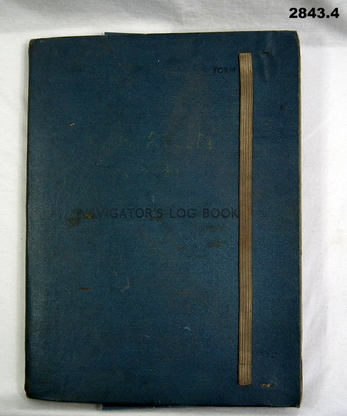
.1) Navigator's Log Book, hard cover, blue colour buckram with dark blue paint on front cover. Back end paper includes a pocket for maps & has a Conversion Table & Nautical Miles, Statute Miles, Kilometres, tables in black print on beige paper included. Stiff card divider.
.2) Map folded, black printing on beige paper. Gibraltar Scale 1:1,000,000 at 56 degrees N.
.3) Map folded, black printing on beige paper. Algeria Scale 1:1,000,000 at 56 degrees N.
.4) Pencil grey lead, timber colour. Stamped into pencil: HB Commonwealth of Australia.
Inscriptions & markings
.1) Hand written in black ink on front end paper: Wreck at Cape Juby. In pencil: S2 / MZ / W2 / 1Z . 35N
.2) Hand written in blue pencil: Atlantic. Blue & red ink & lead pencil notations over map.
.3) Hand written in blue pencil: Mediterranean. Blue & red ink numerous notations over map.