


Historical information
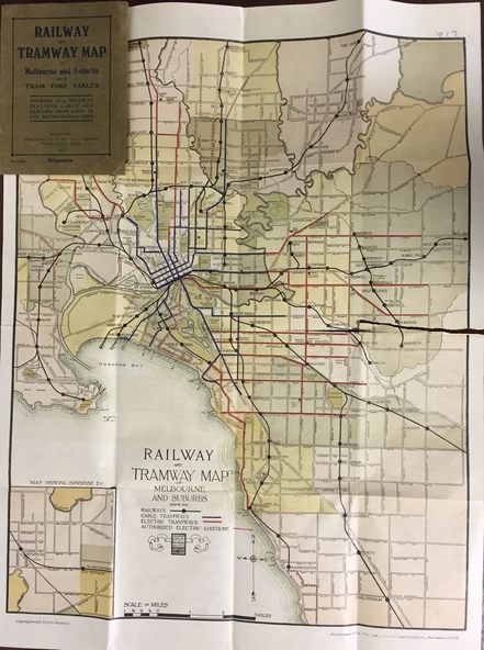
The Railway and Tramway Map of Melbourne and Suburbs With Tram Timetables lists existing Cable Tram Services before the entire network was electrified. By 1917 the tramways system was divided into regions including: the Melbourne Cable Tram Service; Prahran - Malvern Electric Trams; Hawthorn Electric Trams; Melbourne, Brunswick and Coburg Electric Trams; and Brighton Beach Electric Trams. The old Outer Circle railway line is marked as ending in Deepdene, with the remainder of the line to Fairfield marked as 'Unused'. The Kew tram along High Street in 1917 ended at the Harp Junction. The Kew Spur Line is also marked on the map.
Significance
The Railway and Tramway Map of Melbourne and Suburbs With Tram Timetables is historically significant as it captures at a point in time, 1917, the development of public transport infrastructure in Melbourne. As such it illustrrates the theme: Connecting Victorians by transport and communications.
Physical description
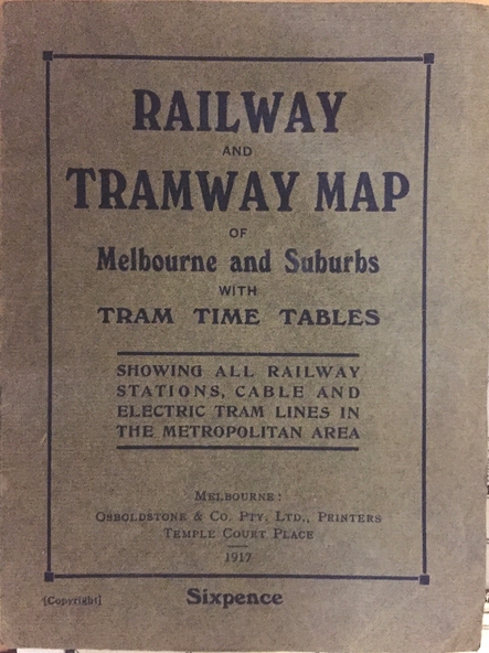
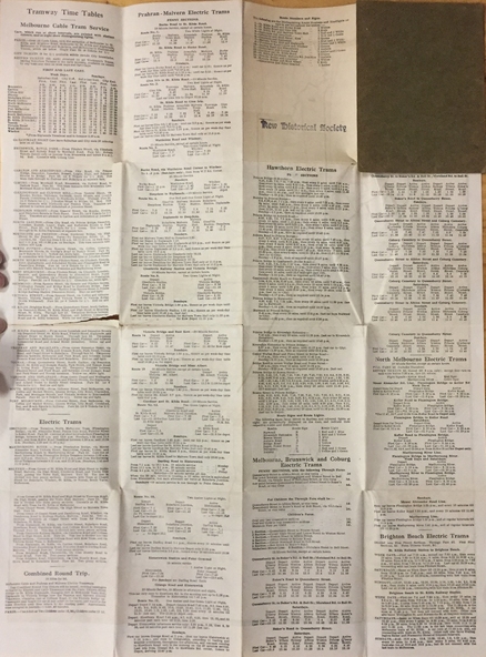
Printed card-covered pocket sized map that folds out with three horizontal and vertical folds. Colour map, with scale, of the rail and tram networks on one side and sixteen sections of black and white printed text and timetable information on the reverse.