


Historical information
These ten documents (maps, plans, photographs) mostly come from the Warrnambool City Council and most contain information on sub-divisions and titles of properties in areas around the Central Business District of Warrnambool. The dates range from 1986 to 2006.
Significance
These maps, plans and photographs are of some interest as they give historical details of subdivisions in Warrnambool and date from the late 20th century.
Physical description
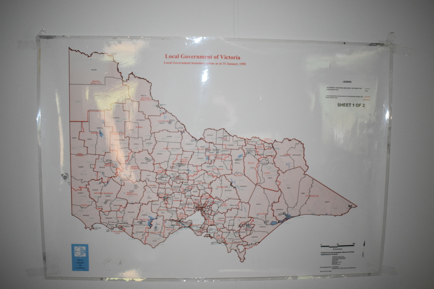
.1 This is a laminated map of the boundaries of Local Governments in Victoria. It is Sheet I of 2 and has red and blue pencil markings and black boundary markings.
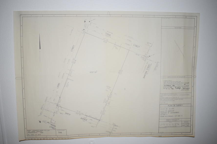
.2 This is a copy of a plan of a survey in black and white markings on paper.
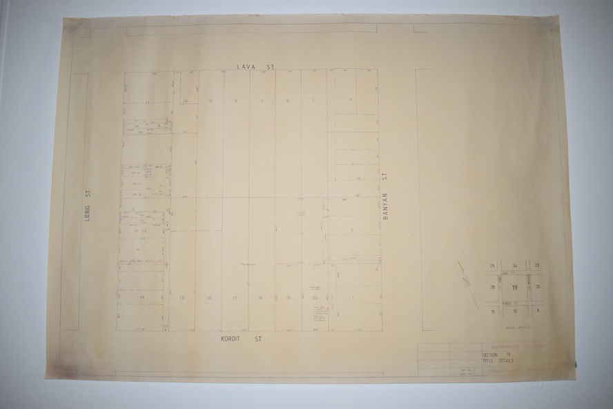
.3 This is a plan of the title details of Section 19 Warrnambool. It has black printing on buff-coloured paper.
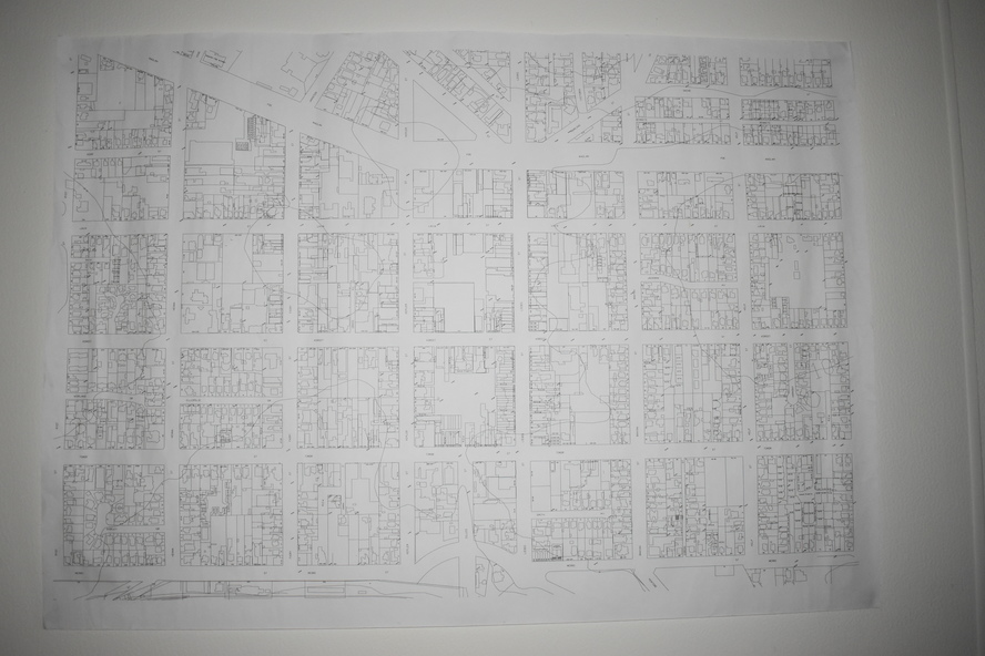
.4 This is a plan of the allotments in part of the Central Business District of Warrnambool. It is printed in black and white.
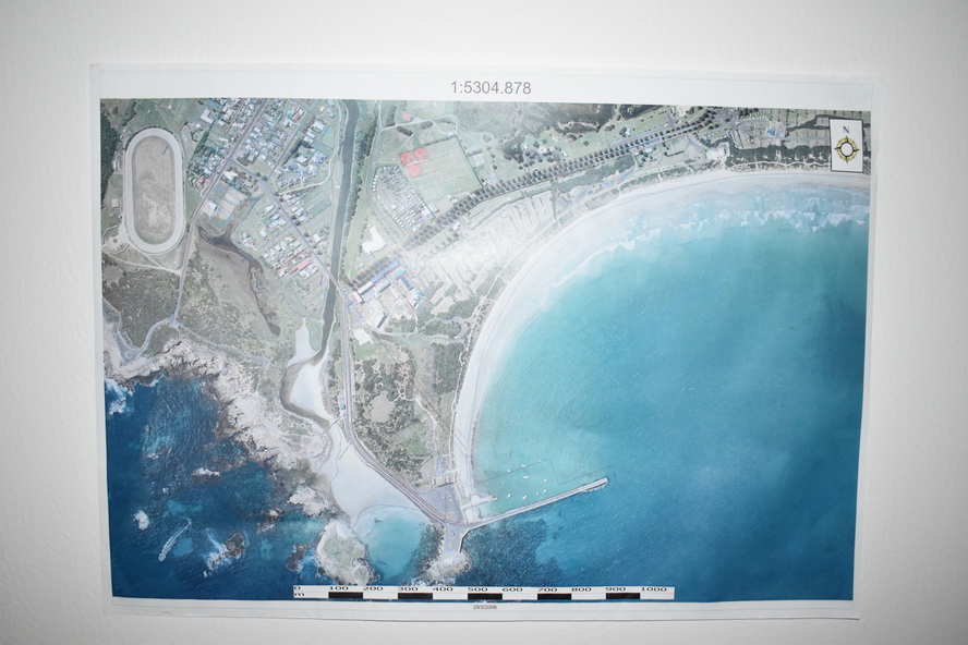
.5 This is a 2006 coloured aerial photograph of the harbour at Warrnambool – Breakwater etc.
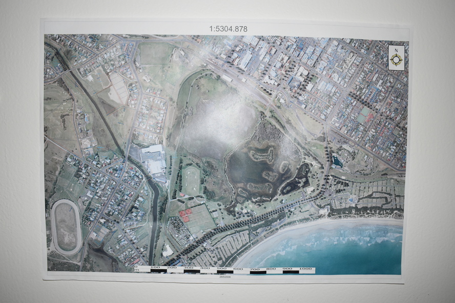
.6 This is a 2006 coloured aerial photograph of the Lake Pertobe area in Warrnambool
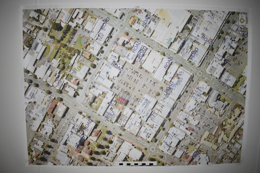
.7 This is a coloured aerial photograph of Warrnambool’s streets over-stamped with road numbers in large blockings.
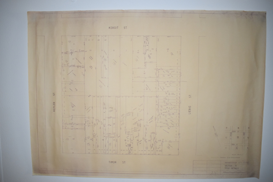
.8 This is a plan showing the title details of Section 11 in Warrnambool. It has black printing on buff-coloured paper.
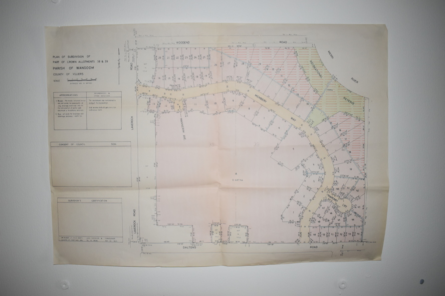
.9.1 This is a plan of sub-divisions in parts of Crown Allotments 38 & 39 in Warrnambool. It has green, pink and yellow markings with black printing.
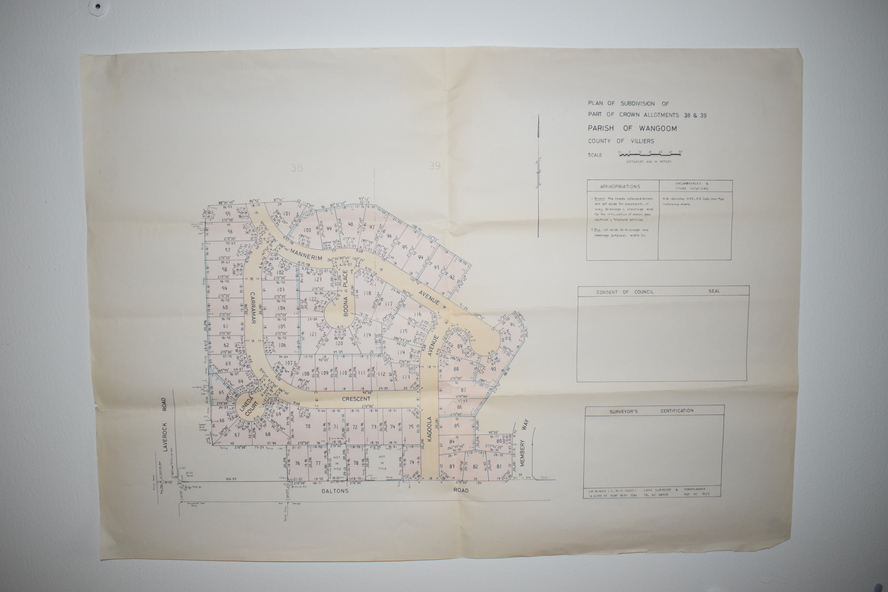
.9.2 This is a plan of the sub-divisions in parts of Allotments 38 & 39 in Warrnambool. It has pink, yellow and blue markings with black printing. It is somewhat faded.