Historical information
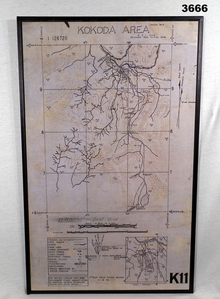
Map was compiled from aerial photos without ground control or inspection & with information received from Major CAMERON.
Physical description
Laminated map of Kokoda area on board backing with black border. Black printing on cream / fawn background. White hanging strap on back. Information ledger bottom LHS. Kokoda inset bottom RHS.
Inscriptions & markings
Printed at top: “KOKODA AREA”
Printed at bottom “RHS: K11”