


Historical information
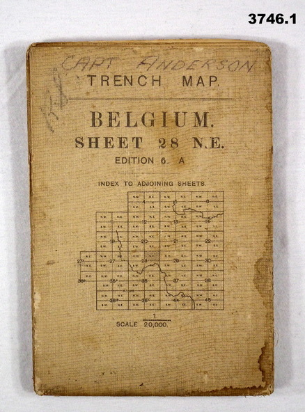
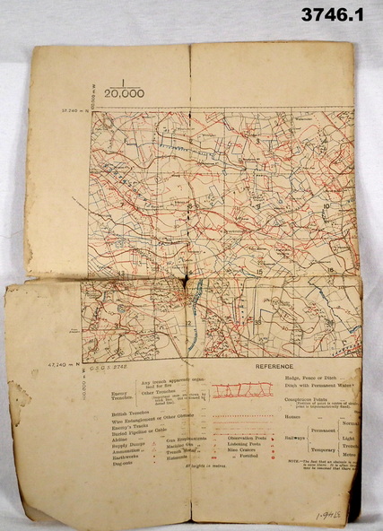
.1) Areas covered on this map include Zonnebeke, Broodseinde, Passchendaele, Westhoek, Glencorse Wood & Black Watch Corner.
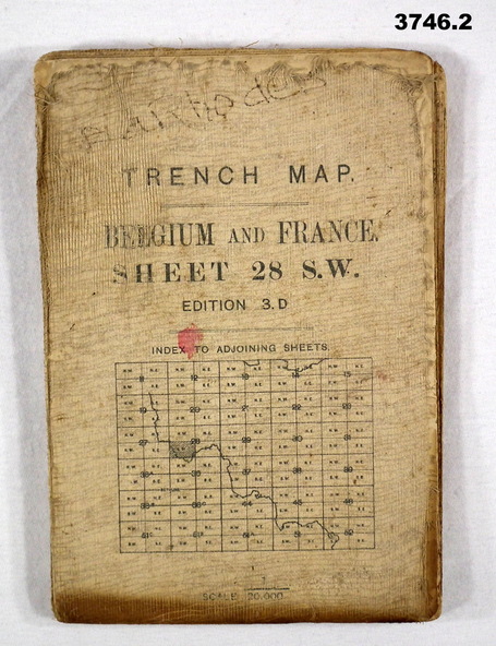
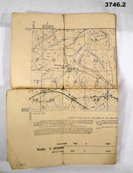
.2) Areas covered on this map include Bailleul, Neuve Eglise, Messines, Wyschaete, Warneton & Hollebeke.
.3) Areas covered on this map include Poperinghe, Ypres, Dickebusch & Zillebeke.
The maps are part of a collection of 27 collected by William Arthur ALEXANDER, No 502 AIF. He enlisted in the 8th reinforcements MG Coy 3 on 5.9.1916 aged 21 years. Embarked for England on 23.11.1916, transferred then to the 5th Div MG Coy. Embarked for France on 26.4.1917 then transferred to the 13th MG Coy on 16.6.1917. WIA 28.9.1917 gassed, he is later hospitalized with Colitis. Rejoined unit in the field 18.6.1918. Discharged from the AIF 18.9.1919.
Physical description
.1) Trench Map, Belgium, sheet 28 NE Edition 6A, folding, scale 1.20,000, trenches corrected to 3.7.1917, German trenches in red. On rear glossary of terms French to English.
.2) Trench Map, Belgium & France, sheet 28 SW Edition 3D, folding, scale 1.20,000, trenches corrected to 22.6.1916. German trenches in red, British in blue. On rear glossary of terms French to English.
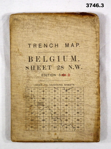
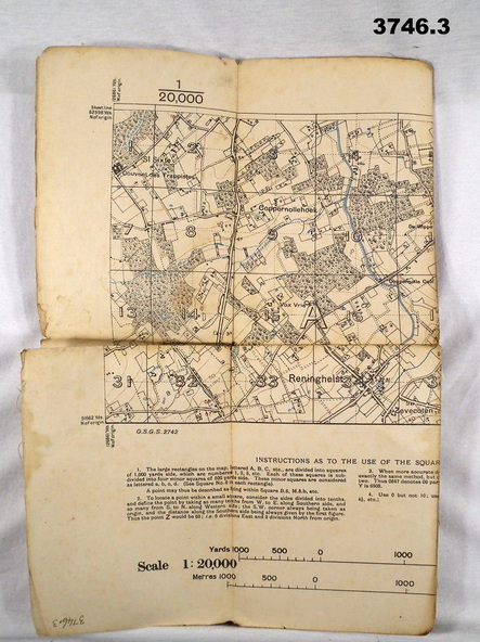
.3) Trench Map, Belgium, sheet 28 NW Edition 3D, folding, scale 1.20,000, trenches corrected to 25.6.1916. German trenches in red, British in blue. On rear glossary of terms French to English.
Inscriptions & markings
.1) Handwritten on front: “CAPT ANDERSON”