


Historical information
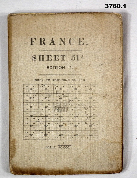
(.1) Areas covered by this map, Somain to Valenciennes, Ramillies to Beaudignies.
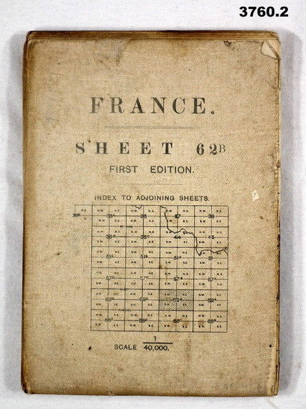
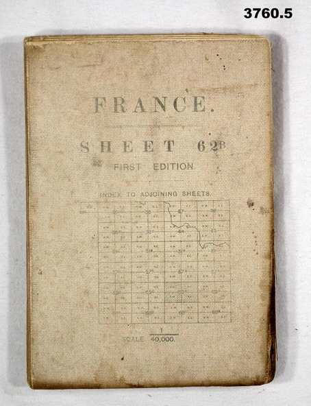
(.2) Areas covered on this map, Bellicourt to Tupigny, St Quentin to Guise.
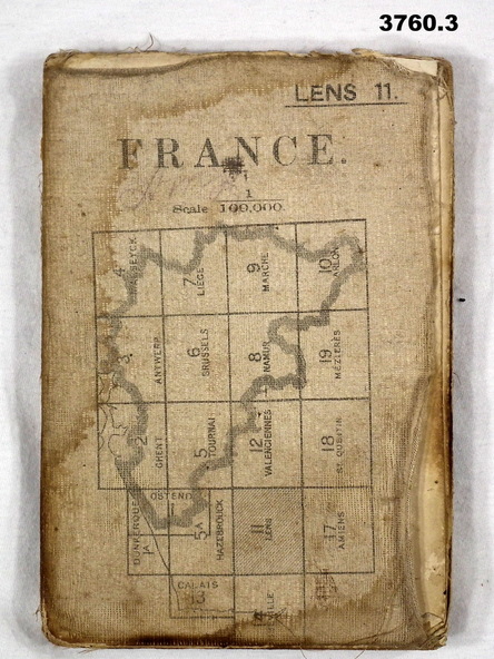
(.3) Areas covered on this map, Heslin to lens, Domart to Baupaume.
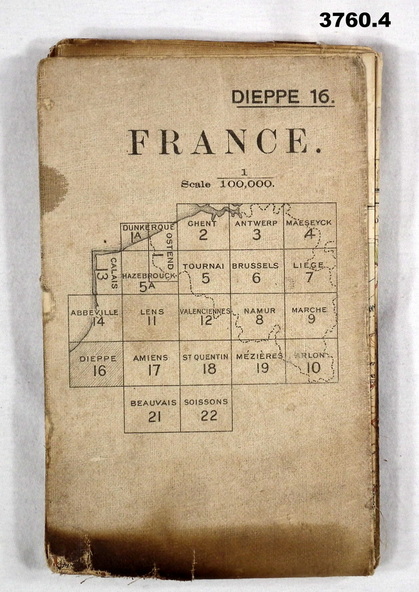
(.4) Areas covered on this map, Dieppe to Le Quesnoy, Monville to Bonniers.
(.5) Same as (.2)
Items relate to William Alexander No 502 AIF. Refer 3746.3 for his service details.
Physical description
(.1) Map, France, sheet 51A, Edition 1, scale 1:40,000, Ordnance survey 1916, gauze lined, rear has glossary of terms French to English.
(.2) Map, France, sheet 62B, first edition, scale 1:40,000, Ordnance survey December 1917, gauze lined, rear has glossary of terms French to English.
(.3) Map France, Lens 11, scale 1:100,000, OSO 1915, gauze lined.
(.4) map, France, Dieppe 16, scale 1:100,000, general staff No 2364, War Office 19– gauze lined.
(.5) Map, France (same as (.2)
Inscriptions & markings
(.2 & .5) On rear hand written “124 A.L.T.M.B P179/5