


Historical information
(.2) Areas on map relate to : The Hindenburg line on the left, from the top, Bony to Bellicourt to Bellenglise, Estrees to Brancourt.
(.3) The River Somme runs through from top corner left bottom corner right. Main areas are Belloy, Picquigny, Bertangles, Montieres. The map finishes just short of “Amiens”
Items in the collection relating to F.A.W Hutson No 3539 AIF. refer Cat No 922 for his service history.
Physical description
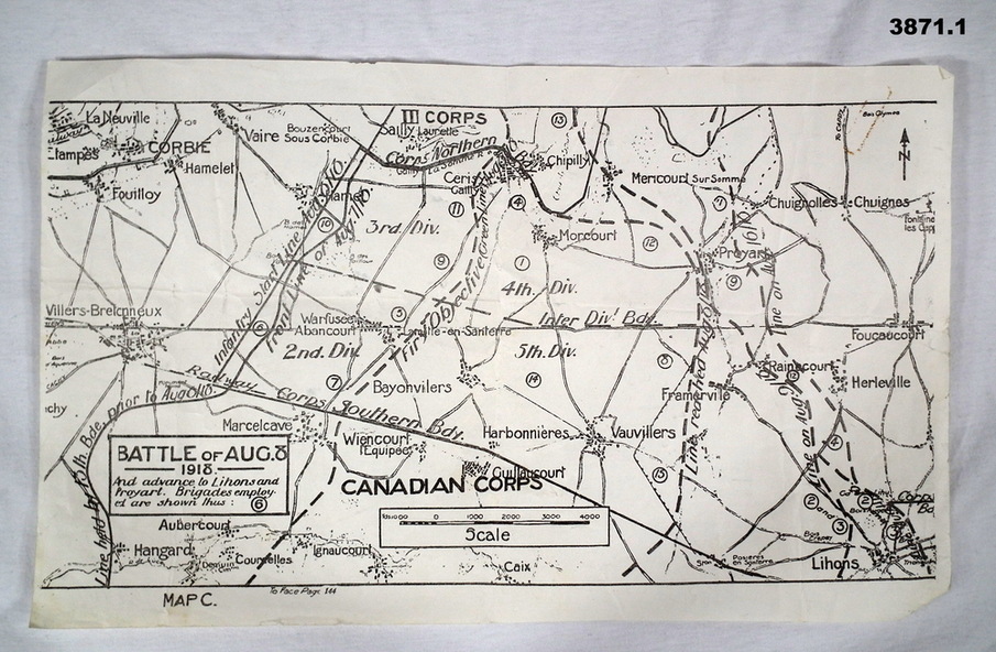
(.1) Map on paper showing the “Battle of August 1918”, Map C, The Advance to “Lions & Proyart”.
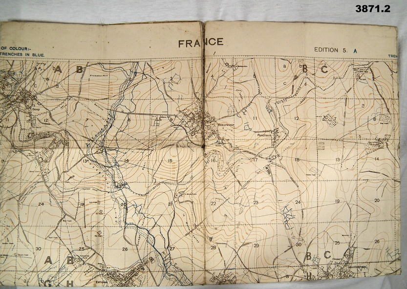
(.2) Trench map, gauze lined, sheet 62B N.W, trenches corrected to 8.2.1918, German trenches in blue, scale 1:20,000, France.
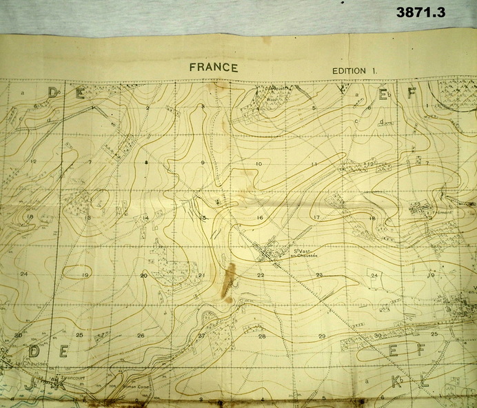
(.3) Ordnance survey map, May 1918, France, Edition 1, sheet 62 E N.E, scale 1:20,000, a canal and river runs through the centre
Inscriptions & markings
(.2) On rear hand written “62 B N.W”
(.3) On rear hand written “D.M.F 62 E N.E”