Historical information
Printed on border under map:
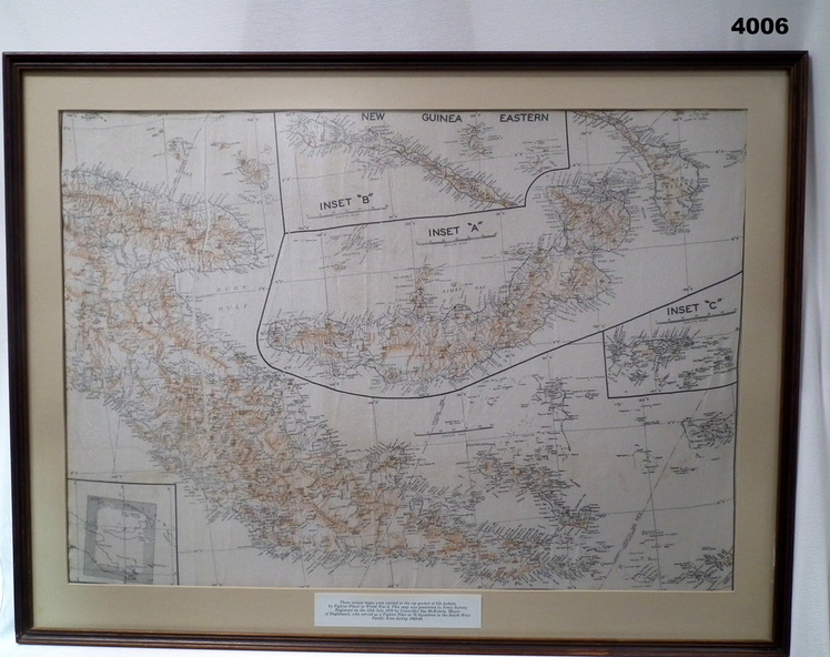
These escape maps were carried in the zip pockets of life jackets by fighter pilots in WW2. This map was presented to A.S.R on the 12/7/79 by Councillor Ian McKenzie, Mayor of Eaglehawk who served as a fighter pilot in 78 Sqn. in Sth. W. Pacific are during 1943-44.
Physical description
Map of eastern section of New Guinea.
Black print on white background with mountain ridges in tan.
Inset 'A' is New Britain.
Inset 'B' is New Ireland.
Inset 'C' is Manus Island.
Map is mounted with cream border, brown wooden frame with glass front and fawn wooden backing.