Historical information
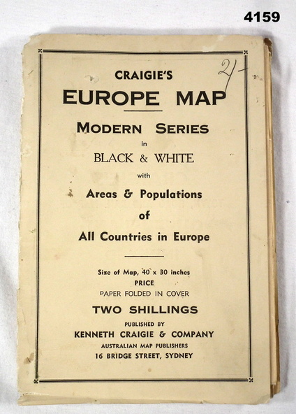
The map features the areas and populations of all European countries as per 1939. Part of the collection re Frederick Gardner Davey DFC No 410533 RAAF. Refer Cat No 3536P for his service details.
Physical description
Folded map in black and white. Coloured British and German flags are pinned to countries on the map.
Inscriptions & markings
On the front cover in pencil, “2/-“. (2 schillings)