Historical information
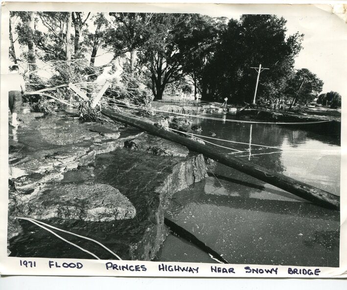
This photograph was taken near the Snowy River Bridge on the the old Princes Highway in Orbost, near the caravan park.
The 1971 flood was the the worst flood on record. At Jarrahmond it was at least 11 metres and up to one and a half kilometres wide on the flats causing enormous damage to the flood plain. Records say that "The brown floodwater stain in Bass Strait could be seen from passing airliners." Considerable damage was done to railway infrastructure, roads and farms.
More information from the APRIL, 2008 newsletter by John Phillips. (see orbosthistory.com.au)
Significance
This is pictorial evidence of a significant local event. Floods have been an integral part of Orbost's history for hundreds of years.
Physical description
A black / white photograph of debris, fallen power lines, a tree across the highway and floodwaters across the road.
Inscriptions & markings
on front at bottom - handwritten in upper case print - " 1971 FLOOD PRINCES HIGHWAY NEAR SNOWY BRIDGE"