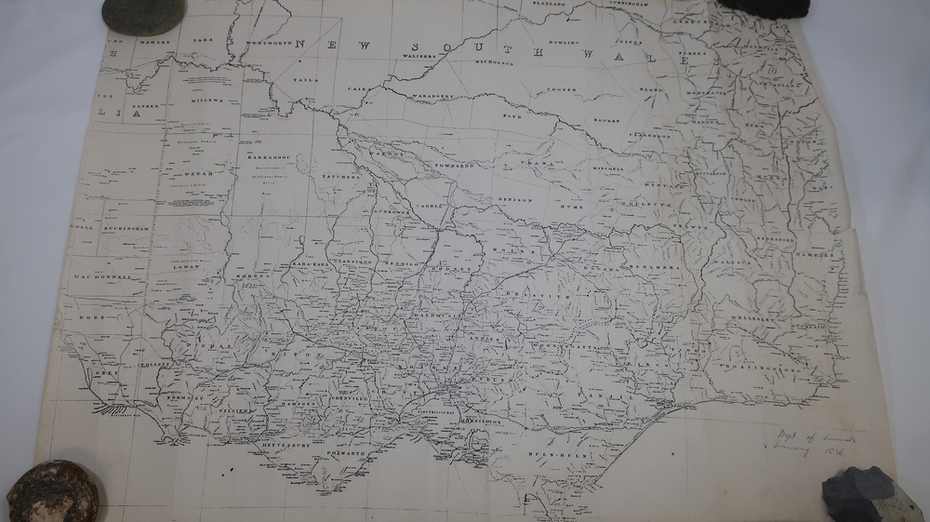
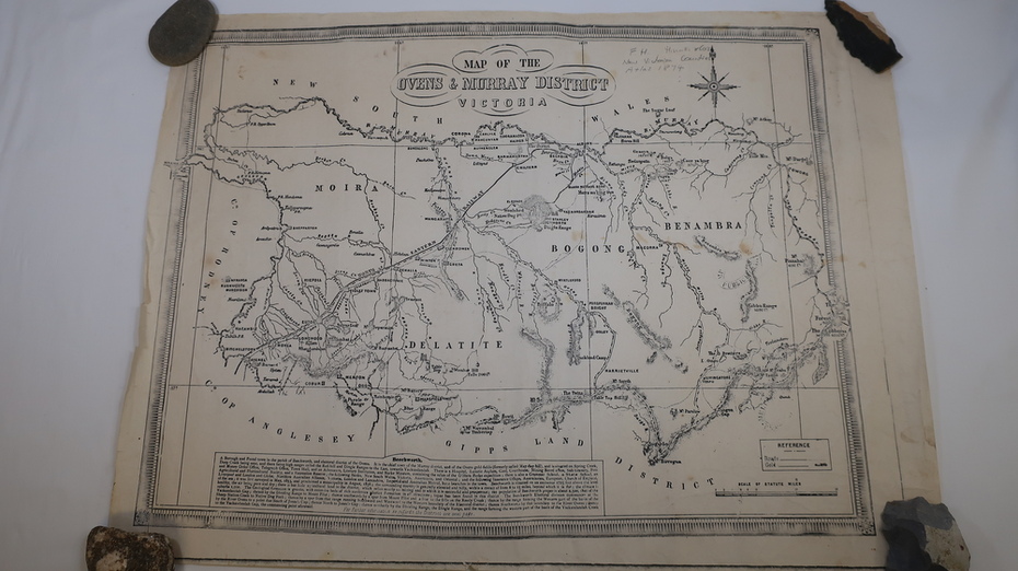
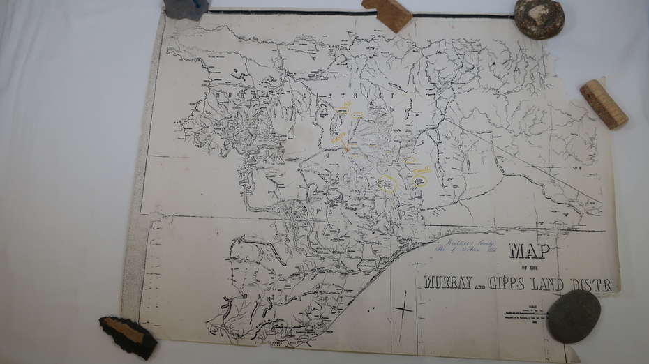
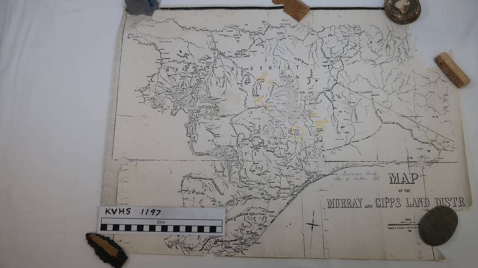


Physical description
Three maps: copies from the 19th century.
1. Handwritten 'Dept of Lands & Survey 1876'.
2. Map of the Ovens & Murray District, Victoria with handwritten 'F.H. Hiscock & Co's, New Victoria Countries Atlas 1874'.
3. Map of the Murray and Gipps Land Distr' with handwritten: "Baillieu's County Atlas of Victoria 1866'.