

Historical information
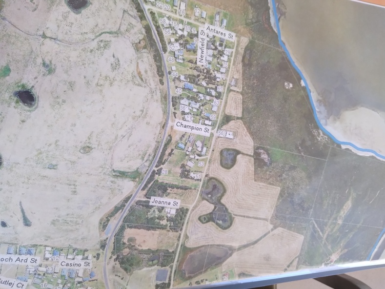
View shows development at the time and showing the town boundary using Vicmap Information
Significance
Significant in that it provides a record of the current state of development of the town. Also, a view of the estuary at that time.
Physical description
A3 size copy of an aerial view of the majority of the town with street names mentioned.
