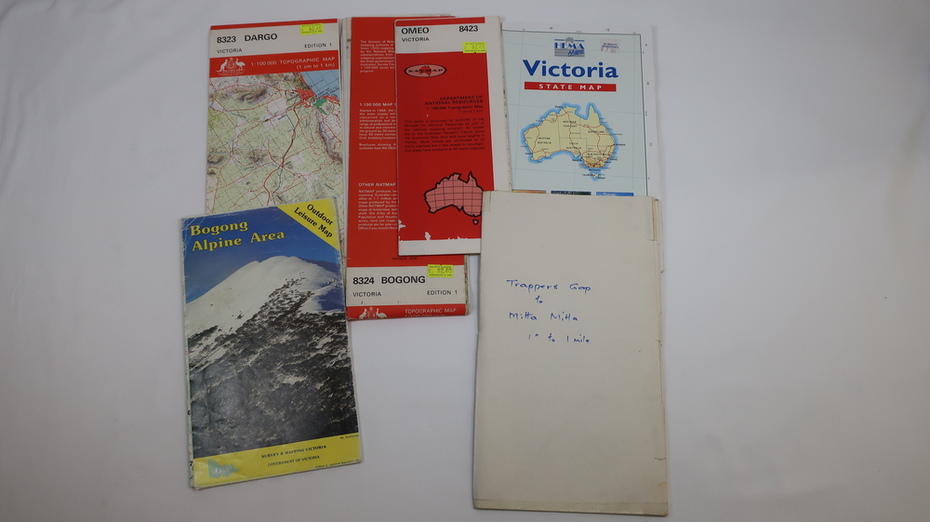
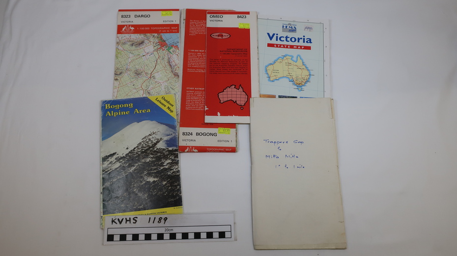


Physical description
1. Bogong Alpine Area (outdoor Leisure Map. survey & Mapping Victoria, Government of Victoria, Edition 2, reprinted 1991 with an
image of Mt. Feathertop on the front. Information for tourist in the Alpine National Park: Bogong Area. Including: recreational
activities, history, weather and vegetation and a list of walks together with locality maps and photographs.
The front cover has an image of Mt Feathertop against a blue sky with yellow writing 'Bogong Alpine Area', there is a yellow
triangular block on the right hand top corner with black writing 'Outdoor Leisure Map. On the bottom edge is a block of yellow
with black writing 'Survey & Mapping Victoria' and a light green map of Victoria with 'VICMSP' printed in white.
2. 8324 Bogong Victoria, Edition 1, Commonwealth of Australia 1981. A topographical Map: 1:100,000 scale (1 cm to 1 KM). Map
has a red cover with white writing together with a white block and black writing and a map insert.
3. Tawonga Topographical Map - Forests Commission Victoria, / revised 5/9/77, DEG No. 68-G/399.
A Tawonga 803 folded map in a beige colour with the back blank.
4. Omeo 8433 Victoria, Edition 1, Department of Natural Resources.
The map has a red and white cover with black writing and a simple map of Australia at the bottom.
5. 8323 Dargo, Edition 1, Commonwealth of Australia.
A red and white cover with a map insert.
6. Victoria State Map, Hema Maps, 2002.
Hema Maps, State Map, colourful cover with a map of Australia and four tourism photographs. Scale 1: 850,000
Inscriptions & markings
An inscription handwritten in blue pen "Trappers Gap to Mitta Mitta 1" to 1 mile". There are some pen markings and notations of tracks.