


Historical information
Australian schools used Atlases to teach students geography and the nationalities of countries worldwide.
Significance
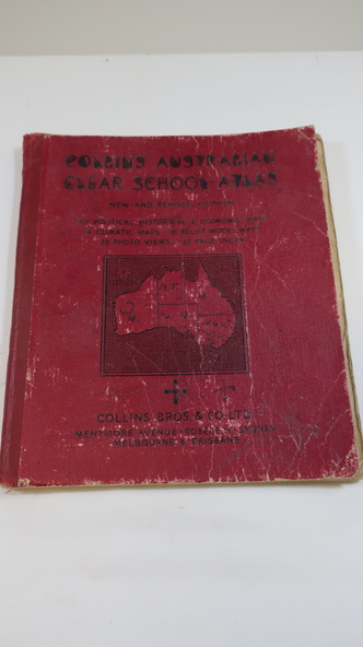
Clare Roper was a resident of the Kiewa Valley. This atlas is of interest because it is circa 1950s and shows the world at this time.
Physical description
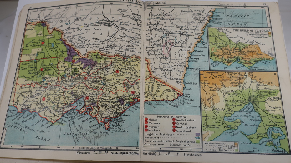
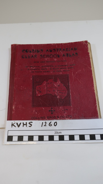
Thick red cardboard cover with black print and map of Australia on cover. It includes coloured maps of countries, black & white photos and an index at the back. On the inside of the cover both front and back it has black and white maps. There are 30 pages and it is bound. Circa 1950s
Inscriptions & markings
Cover page: handwritten "Margaret Tulloh / C. Roper / Margaret Tulloh / M.L.C.
Some pages have been marked with pencil