


Historical information
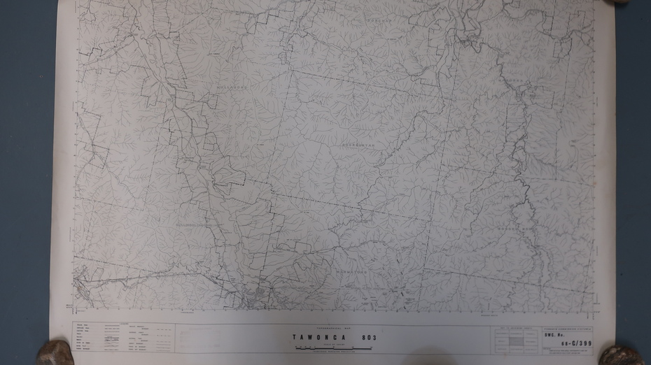
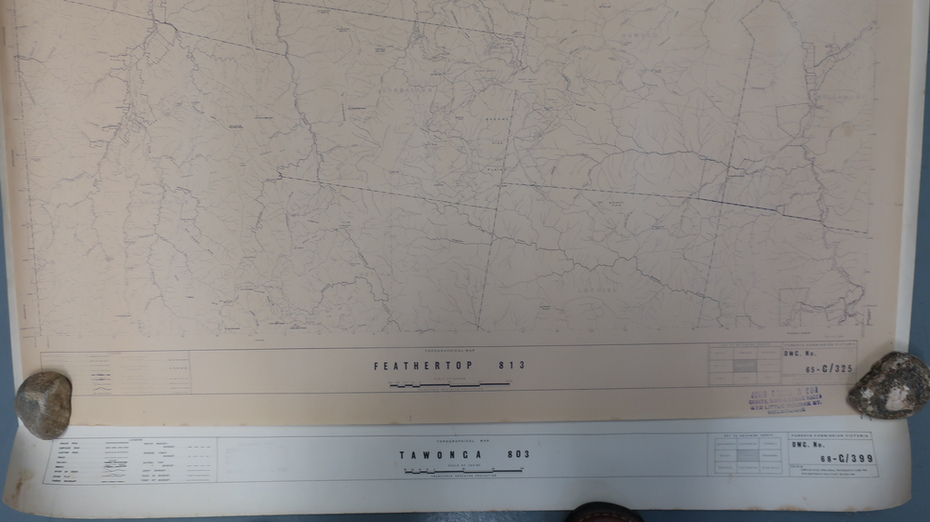
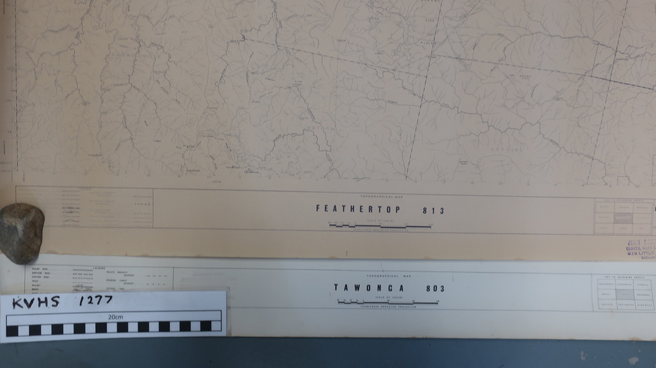
Plan of Tawonga showing roads etc, rivers, use of land in 1968 and of Feathertop in 1969.
Significance
Historical use of land in Tawonga and Feathertop.
Physical description
1. Topographical Map - Tawonga 803 Forests Commission of Victoria 1968. Cream paper with black print. Legend: Roads, tracks etc, rivers, Parishes and use of land.
2. Feathertop 813. 1969