

Historical information
Huntly Shire (1866-1994), north of Bendigo, was proclaimed on 13 July 1866, the successor to a road district which had been created in 1861. It was named after the Huntly parish (1854) which was probably named after Huntly, Aberdeenshire, Scotland.
The shire’s south-west corner adjoined Epsom (Bendigo), its eastern boundary was the Campaspe River and its northern boundary ran through Diggora West. Its area was 878 sq km, unchanged since the shire was created.
The administrative centre of the shire was Huntly, nearly on the edge of Bendigo’s urban fringe. In the south of the shire there were former gold mining areas at Huntly, Fosterville and Bagshot. The Midland Highway and railway line (1864) running north-east through the shire connected Goornong and Elmore to Bendigo. Elmore was the shire’s largest town, situated in a wheat/sheep farming area. The Kamerooka State Park was in the north-west of the shire.
It was amalgamated with Bendigo, Marong, Eaglehawk and Strathfieldsaye in 1994 and is now part of the City of Greater Bendigo.
Physical description
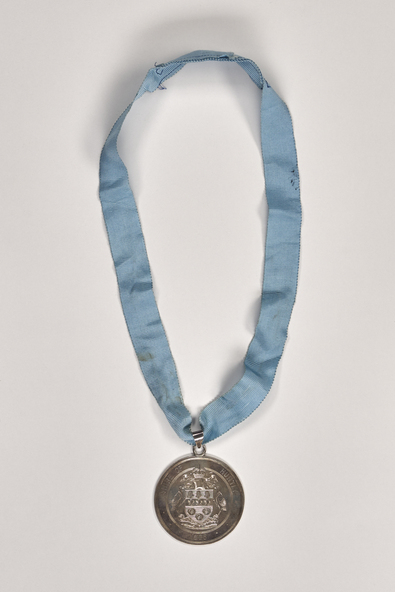
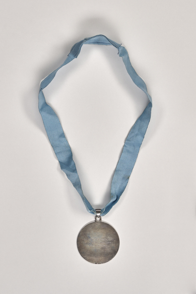
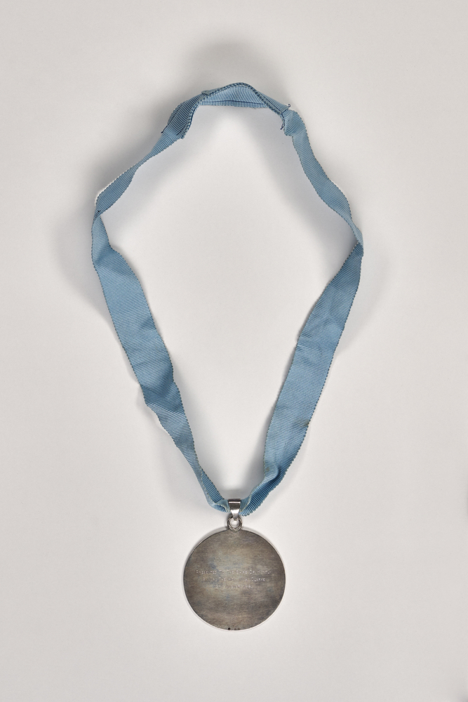
Shire of Huntly stirling silver hand engraved drop suspended from a ling blue masonic ribbon.
Inscriptions & markings
Front; SHIRE OF HUNGLY / 1886 / UNITA FORTIOR. Verso; PRESENTED TO THE SHIRE OF HUNTLY / BY CR. THE HON. M. A. CLARKE / 12TH AUGUST 1981
References
- Former Shire of Huntly Heritage Study. City of Greater Bendigo. Thematic Environmental Study undertaken by COGB. This report charts the post-contact history of the former Shire of Huntly by describing the layers of physical occupation that were shaped by the attitudes and values of the time. The history focuses on themes and events that have affected key stages of development to create today’s landscape, a landscape rich in historic places. The history considers development up until the present day with less emphasis on development since 1980.