Physical description
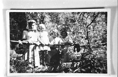
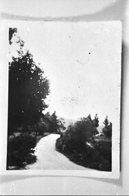
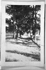
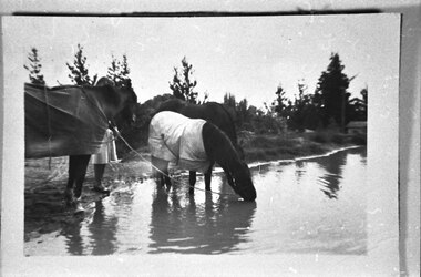
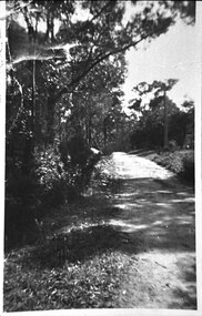
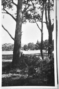
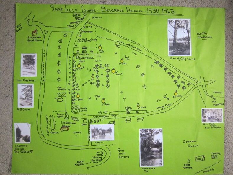
Hand drawn map of Belgrave Heights and its 9 hole golf course, between 1930 and 1943 created by Betty de Coite nee Woods, who holidayed in the area with her family. Map drawn in marker. Photographs attached, including a view of the golf course, Fern Glade Tracks, Lockwood Rd, the dam at Marama Rd corner, The Crescent, the path near the club house, and a wagon near golf course. These photos were taken by members of the Woods family. Map highlights Lockwood House at the corner of Lockwood Rd, the 9 hole golf course, and Sunnyside guesthouse. Club house at Lockwood Rd is later the site of the Convention Centre. Above club house is Fred and Ruby Cook's House.
Mounting & framing
Unframed