


Historical information
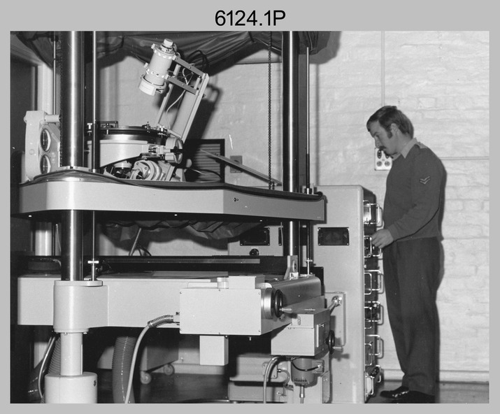
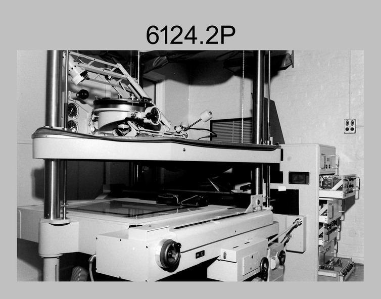
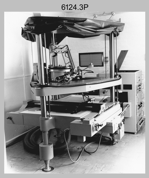
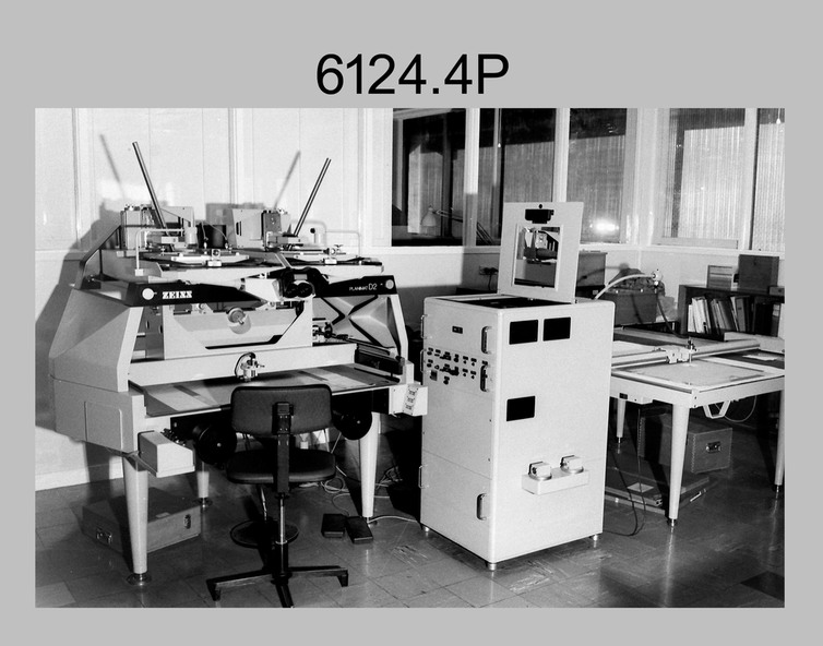
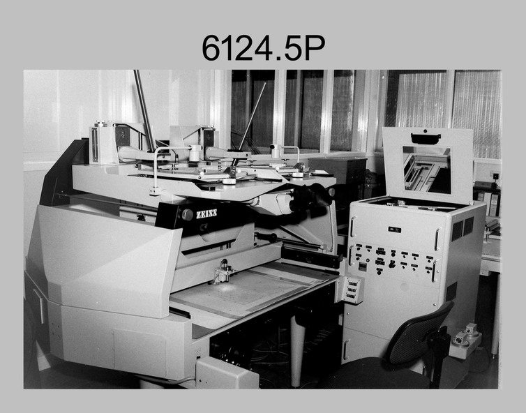
Orthophoto mapping provided the Survey Corps with the capability to produce map products quickly in the event of a crisis. These are four photographs of equipment used by the Army Survey Regiment to produce orthophotomaps. The Wild GZ1 orthophoto projector was introduced in 1973 and was the first equipment used to orthorectify colour and monochrome film aerial photography. Height profiles were originally produced on a PEB8 Stereo profiler and later were software generated. Photos of the PEB8 are available in Victorian Collections item 6222.17P, photos .5P and .6P. In the same era the IBM 1130 computer; OMI/Nistri AP/C-3 analytical plotter with coordinatograph, OP/C orthophoto projector and Zeiss Planimat D2 stereoplotters were introduced. Orthorectification is the process of removing geometric distortions and scale errors/variations from images. Images have tilt and relief distortions that make it difficult to compare accurately a map and an image of the same geographic area. Once an image is orthorectified, features on the image are shown in their planimetric locations.
Physical description
These four photographs of orthorectification equipment were taken at the Army Survey Regiment at Fortuna, Bendigo, c1975.
Photo .1P and .3P were printed on photographic paper and scanned at 300 dpi. Photos .2P, .4P and .5P were on 35mm negative film and scanned at 96 dpi. They are part of the Army Survey Regiment’s Collection.
.1) - Photo, black & white, c1975, Wild GZ1 orthophoto projector operated by CPL Phil Boyle.
.2) - Photo, black & white, c1975, Wild GZ1 orthophoto projector.
.3) - Photo, black & white, c1975, Wild GZ1 orthophoto projector.
.4) - Photo, black & white, c1978, Zeiss D2 Planimat Stereoplotter.
.5) - Photo, black & white, c1978, Zeiss D2 Planimat Stereoplotter.
Inscriptions & markings
.1P to .5P No annotations.