Historical information
Centred on present day Grand Boulevard and Olympic Way, Montmorency bounded by Diamond Street to north, Old Eltham Road and Eltham Lower Park to south, Bible Street to east and Para Road to west.
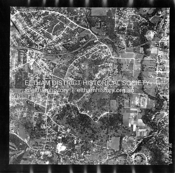
Historic Aerial Imagery
Source: Landata.vic.gov.au
Aerial Photo Details:
Project No :250
Project : MELBOURNE OUTER SUBURBS PROJECT
Run : 17
Frame : 115
Date : 02/1956
Film Type : B/W
Camera : EAG9
Flying Height : 10000
Scale : 12000
Film Number : 1176
GDA2020 : 37°43'24"S, 145°07'55"E
MGA2020 : 335375, 5823236 (55)
Melways : 21 F7 (ed. 42)
Physical description
Digital jpg and electronic PDF file