Historical information
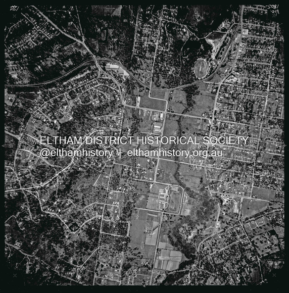
Centred on present day Eltham Ridge, Bolton Street, Eltham bounded by Elsa Court to north, Main Road to south, Bible Street to east and Reichelt Avenue and Rattray Road to west.
Historic Aerial Imagery
Source: Landata.vic.gov.au
Aerial Photo Details:
Project No :486
Project : MELBOURNE (1963) PROJECT
Run : 6
Frame : 124
Date : 04/1963
Film Type : B/W
Camera : RC8
Flying Height : 5100
Scale : 9600
Film Number : 1805
GDA2020 : 37°43'12"S, 145°08'16"E
MGA2020 : 335876, 5823604 (55)
Melways : 21 G6 (ed. 42)
Physical description
Digital jpg and electronic PDF file