Historical information
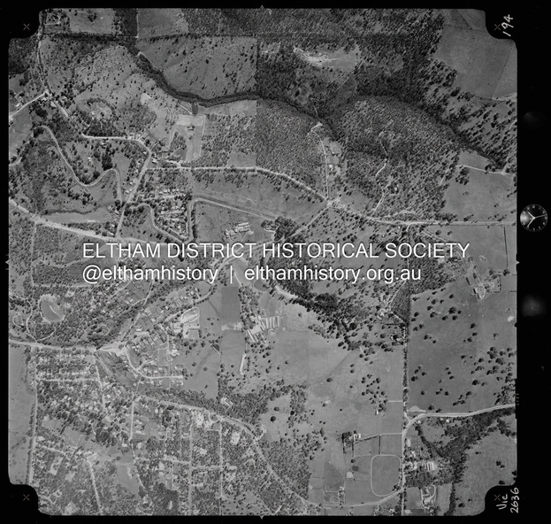
Centred on present day Main Road, Research near Maroondah Aqueduct and Eltham College bounded by Allendale Road to north, Research-Warrandyte Road to south, Swipers Gully Training Restaurant to east and Reynolds Road to west.
Historic Aerial Imagery
Source: Landata.vic.gov.au
Aerial Photo Details:
Project No :985
Project : MELBOURNE 1972
Run : 26
Frame : 194
Date : 04/1972
Film Type : B/W
Camera : RC10
Flying Height : 5700
Scale : 9600
Film Number : 2636
GDA2020 : 37°42'07"S, 145°11'07"E
MGA2020 : 340015, 5825692 (55)
Melways : 22 H1 (ed. 42)
Physical description
Digital jpg and electronic PDF file