Historical information
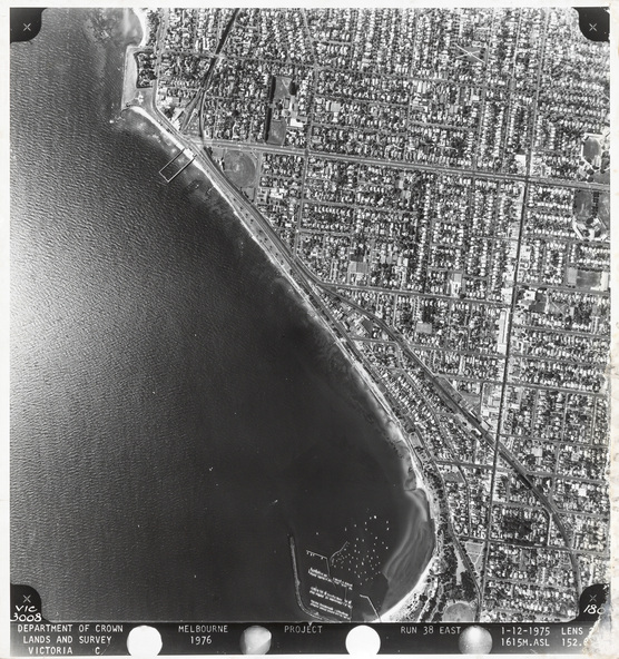
The Department of Crown Lands and Survey (1857-1983) was responsible for the administration of survey and mapping and the sale, occupation and management of crown land throughout its existence. This aerial photograph shows parts of Brighton, Hampton and Sandringham and was taken on 1 December 1976
Physical description
Black and white photograph. An aerial photograph showing parts of the suburbs of Brighton, Hampton and Sandringham. The land with streets lined with houses is on the right, the coastline runs diagonally down the centre and the Bay is on the left. The top left edge of the coast begins at Green Point and ends at Sandringham Yacht Club at the bottom. The main roads shown include South Road at the top, Beach Road on the left, Hampton Street on the right, and the beginning of Bridge Street at the bottom. The photograph has a white border with text in a black margin at the bottom.