


Historical information
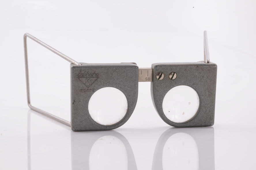
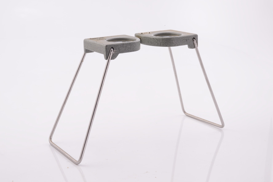
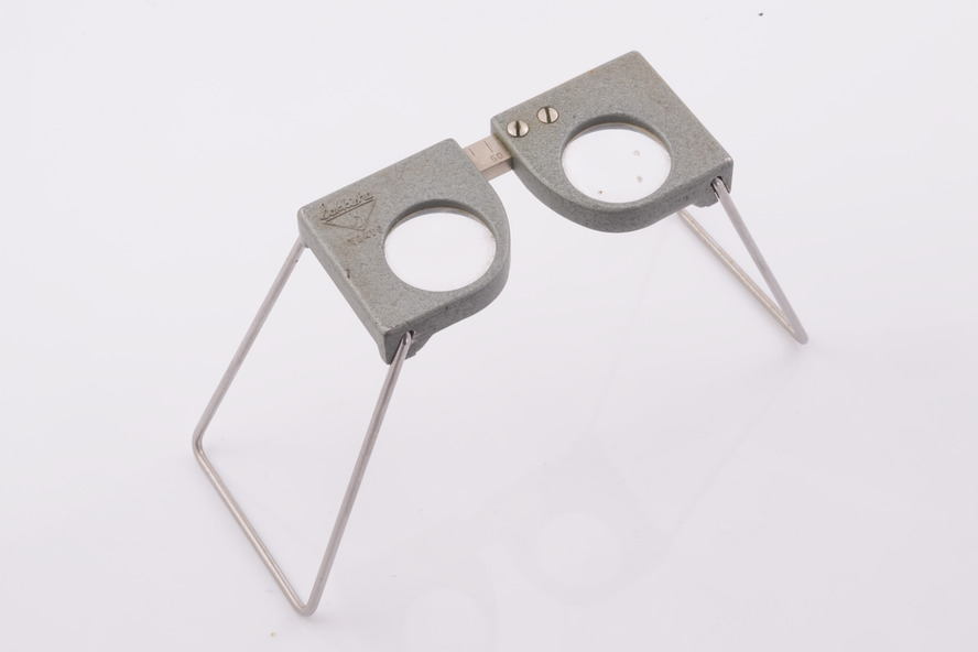
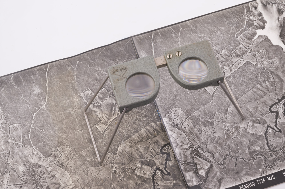
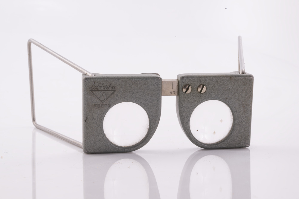
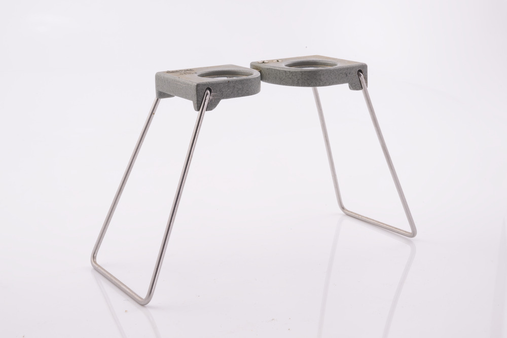
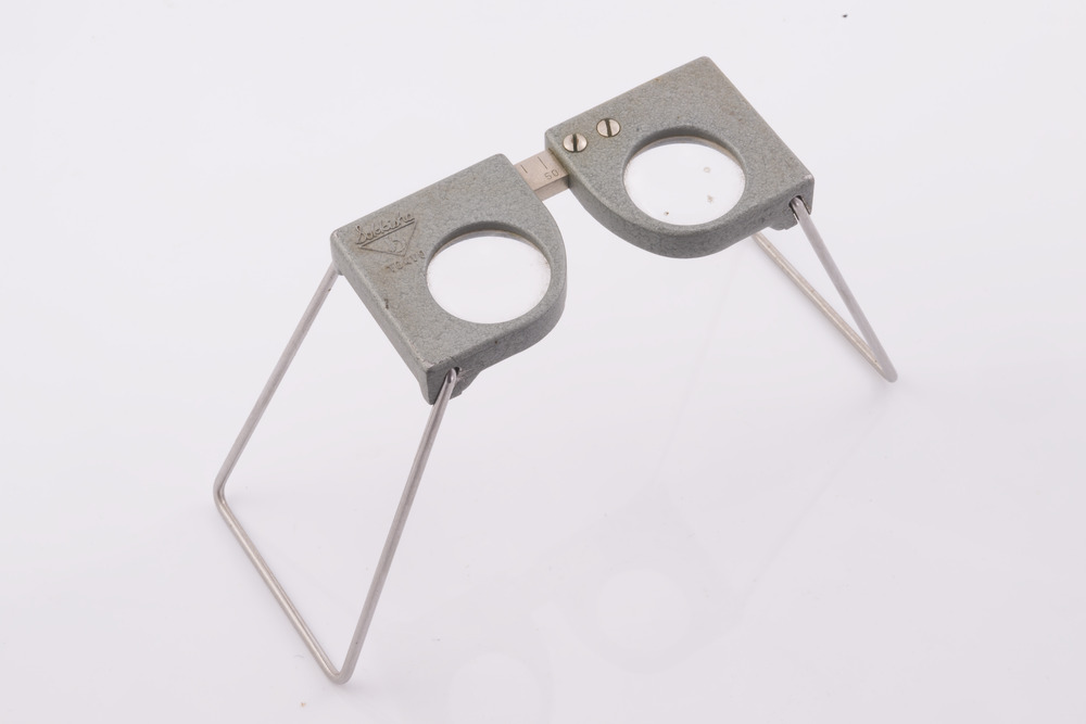
This pocket stereoscope was used to view a pair of separate and overlapping aerial photos as a single three-dimensional image.
It was small and could be easily used in the field. Larger, mirror stereoscope were also available in some offices.
The aerial images were used to map forest types, timber stands, new roads and tracks, firebreaks, boundaries of timber harvesting, plantations, bushfires, insect and disease attack and so on
In 1928, the Forests Commission undertook its first major aerial photography project over 15,000 acres of forest which is said to be the first of its kind in Australia.
During the Second World War, large areas of Victoria were photographed by RAAF and used to produce orthophoto maps. By 1945 aerial photography of 13,000 square miles (3.4 M ha) was completed, including much of the inaccessible eastern forests.
The Forests Commission started developing its own small format photography in the early 1970s.
Simple, cheap and rapid methods of obtaining photographs using 70mm and 35mm cameras were developed
Physical description
Small pocket stereoscope to interprete aerial photographs in the field
Adjustable lenses on foldaway wire legs
Inscriptions & markings
Sokkisha Tokyo