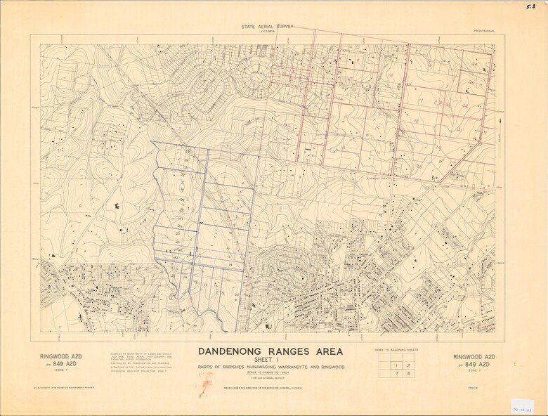
Map - State Aerial Survey, Dandenong Ranges Area, Parts of Parishes of Nunawading, Warrandyte and Ringwood - 1956
5008 .JPG Format
Reuse this media
Can you reuse this media without permission?No (with exceptions, see below)
Conditions of use
All rights reserved
This media item is licensed under "All rights reserved". You cannot share (i.e. copy, distribute, transmit) or rework (i.e. alter, transform, build upon) this item, or use it for commercial purposes without the permission of the copyright owner. However, an exception can be made if your intended use meets the "fair dealing" criteria. Uses that meet this criteria include research or study; criticism or review; parody or satire; reporting news; enabling a person with a disability to access material; or professional advice by a lawyer, patent attorney, or trademark attorney.
Attribution
Please acknowledge the item’s source, creator and title (where known)
Map of Ringwood North and parts of Mitcham, Donvale, Park Orchards and Ringwood East compiled by Dept of Lands and Survey, July 1956, from aerial photographs and Cadastral Survey information.
Inscriptions & markings
Sheet 1, Ringwood A2D or 849 A2D Zone 7. Scale: 4 chains to 1 inch. Contour interval 20 feet.