Historical information
Planimetric maps are two-dimensional representations of the Earth's surface, showing the location and spatial arrangement of features such as roads, buildings, and bodies of water.
Significance
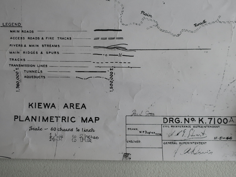
A very clear map showing the Kiewa Hydro Electric Scheme in two dimensions to include the construction done by the SECV.
Physical description
Black and white Map of the Kiewa Area from Mt Beauty to the High Plains covering the Kiewa Hydro Electric Scheme and surrounds. Drawn on 11th May 1966