Historical information
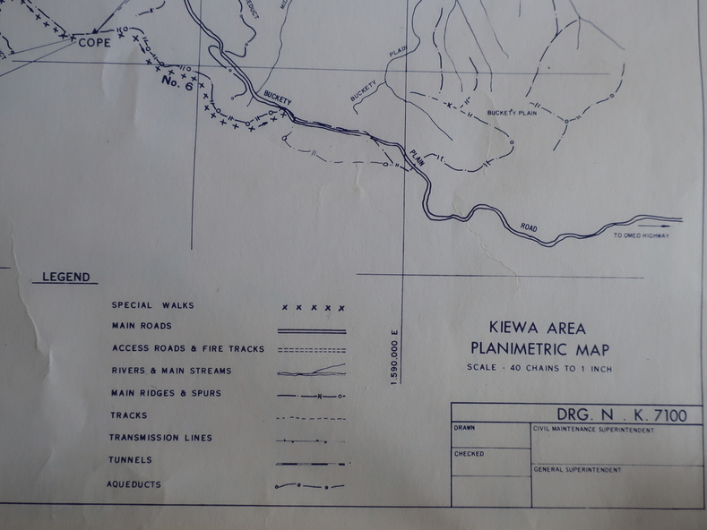
Planimetric maps are 2 dimensional representations of the Earth's surface, showing the location and spatial arrangement of features such as roads, buildings, and bodies of water.
The parish maps show the occupiers with leases or licences of the land. These are updated by the Department of Lands regularly.
Significance
The names of early settlers of the Kiewa Valley occupying land by lease or licence are shown. Many of these familie's descendants still live in the Kiewa Valley.
Physical description
1. Kiewa Area Planimetric Map (photo)
2. Wermatong, County of Bogong Parish Map
3. Mulllindolingong, County of Bogong Parish Map
4. Mullagong, County of Bogong Parish Map
All black and white