Historical information
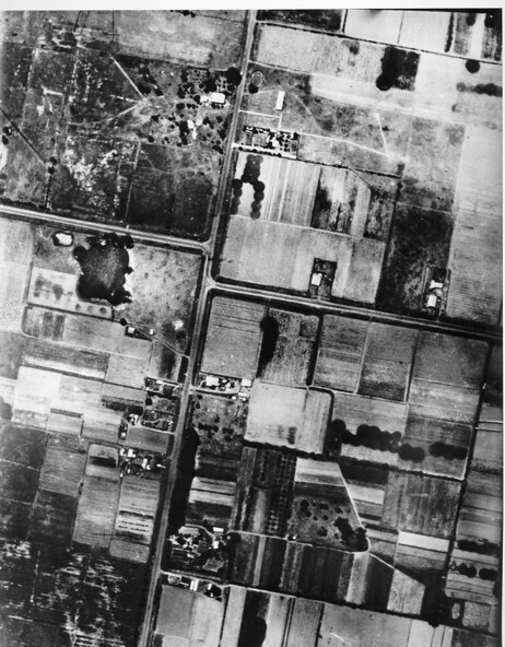
Aerial photograph of Moorabbin, including Chesterville Road, Keys Road and Wickham Road, Moorabbin, Briggs cottage, Neill's waterhole, McKittrick property, site of FRUMEL
Physical description
Black and white aerial view of Moorabbin. Houses, market garens, roads, and water features are all clearly visible.
Inscriptions & markings
Handwritten in red ink on reverseL A 603 / 97% [in red circle]
Handwritten in blue ink on reverse: 9502 06111 / M'bbin