Historical information
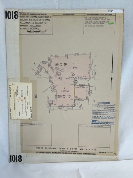
Subdivision Plan # 1018 - Parish of Nillumbik, County Bourke, Crown Allotment 4 Section 15, and Crown Allotment B Section 12, Eltham North. This subdivision plan includes Ryans Road (also known as Government Road) and St Clems Street. The developer for this subdivision is Taunton Developments and the Surveyors are Fisher Cleeland Turner & Dwyer Vic, Surveyors and Engineers.
Significance
An example of hard copy subdivision plans from the Greensborough area. Mainly from the Shire of Diamond Valley era (1964-1994).
Physical description
Plan (single sided) mounted on heavy card.
Inscriptions & markings
Stamped and handwritten Council permissions, dates and other details.