Document - Royal Australian Survey Corps - Manual of Topographical Draughting - Editing and Proving 1949, Royal Australian Survey Corps, 1949
Royal Australian Survey Corps - Manual of Topographical Draughting - Editing and Proving 1949
Reuse this media
Can you reuse this media without permission?No (with exceptions, see below)
Conditions of use
All rights reserved
This media item is licensed under "All rights reserved". You cannot share (i.e. copy, distribute, transmit) or rework (i.e. alter, transform, build upon) this item, or use it for commercial purposes without the permission of the copyright owner. However, an exception can be made if your intended use meets the "fair dealing" criteria. Uses that meet this criteria include research or study; criticism or review; parody or satire; reporting news; enabling a person with a disability to access material; or professional advice by a lawyer, patent attorney, or trademark attorney.
Attribution
Please acknowledge the item’s source, creator and title (where known)
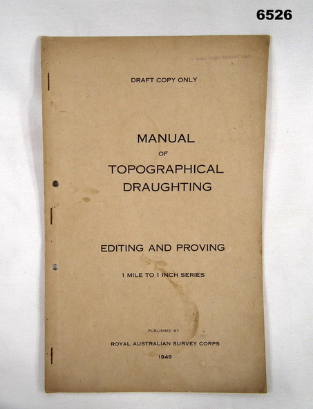
This Draft document is part of the Topographical Drafting Manual produced by the Royal Australian Survey Corps in 1949. This document covers the guidelines for Editing and Proving (quality control) of the 1 Mile to 1 Inch map series that was widely produced by the Corps over Australia.
Physical description
A 10 x page foolscap sized buff coloured covered document, stapled and two hole punched