

Historical information
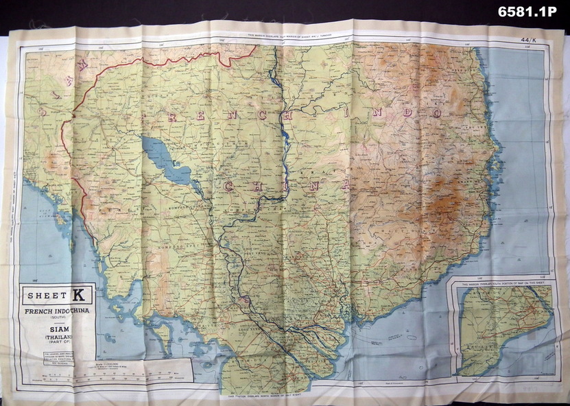
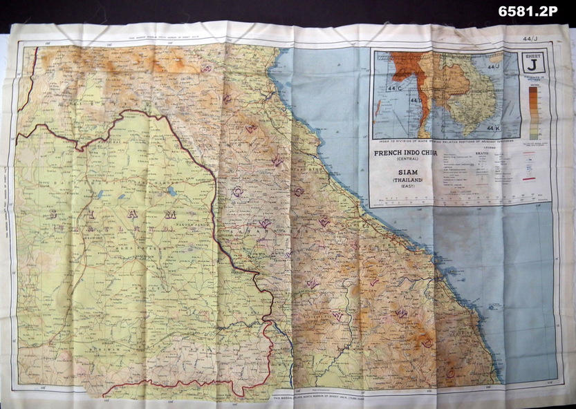
Silk maps were produced as "Escape Maps" as they were easily folded and compressed to carry. They were often sewn into the jackets of aircraft pilots.
Physical description
.1P Photograph of a Silk map of Indo China Map No 44K covering Siam (Thailand) and part of Vietnam and Cambodia at a scale of 1:1million. The map has contours (heights) and legend panel information.
.2P Photograph of the reverse side of a Silk map of Indo China Map No 44J covering Siam (Thailand) at a scale of 1:1million. The map has contours (heights) and legend panel information.