Historical information
Centred on 32 Grand Boulevard, Montmorency bounded by Rattray Road to north, Main Road, Lower Plenty to south, Bolton Street to east and Looker Road to west.
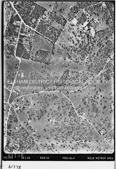
Historic Aerial Imagery
Source: Landata.vic.gov.au
Aerial Photo Details:
Project No :5
Project : MELBOURNE AND METROPOLITAN AREA PROJECT
Run : 34
Frame : 61778
Date : 12/1945 (28.1.46)
Film Type : B/W
Camera : EAG4
Flying Height : 10200
Scale : 6000
Film Number : 212
GDA2020 : 37°43'30"S, 145°07'37"E
MGA2020 : 334934, 5823043 (55)
Melways : 21 E8 (ed. 42)
Physical description
Electronic PDF file