

Historical information
The Phuoc Tuy Border is about 58 kms E,S,E, from Ving Tau.
Physical description
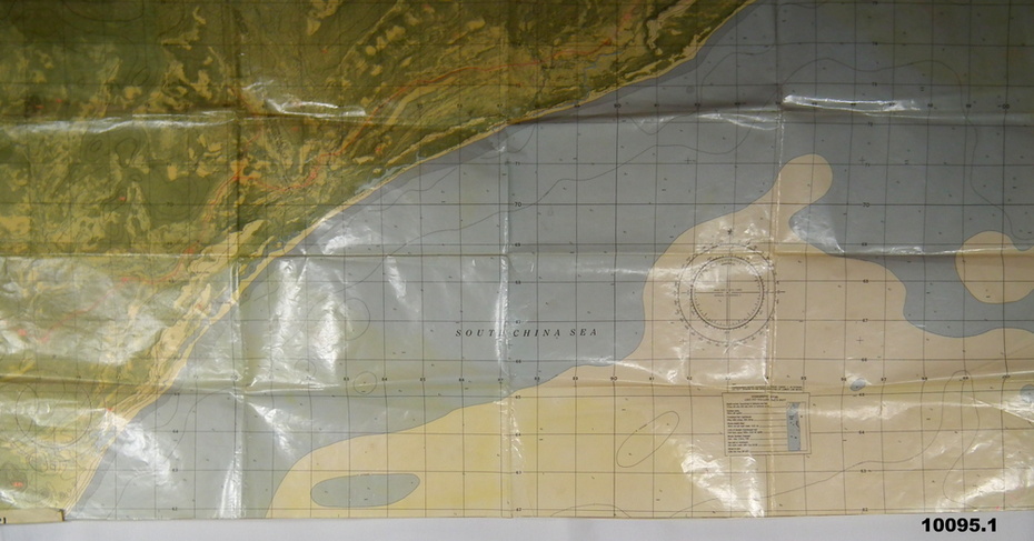
1. Air photo of part of Phuoc Tuy Province, Sun. Overlaid on the air photo is - Principal height contours, Highway marked in red, names of villages and waterways and coastal depth soundings in fathoms. The map has a waterproof cover.
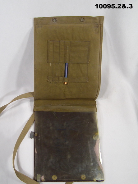
2. Map case, canvas khaki, it also has a Bakelite sheet backboard and a celluloid cover sheet. on the back board are 4 steel clips to hold the folded map. The case is held shut with brass press studs. The case has a khaki webbing strap affixed with brass fittings.
3. China graph pencil, yellow. Made by Staedtler and it is also embossed Commonwealth of Australia.
Inscriptions & markings
1. The number “12” is written in numerous places.
2. On rear of case is some letters “O.C. HART .........? 1942” On the celluloid are some blue markings - looks like a house layout.