


Historical information
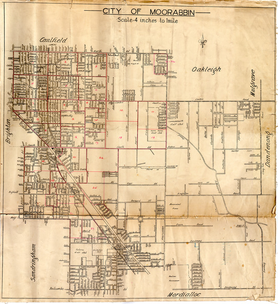
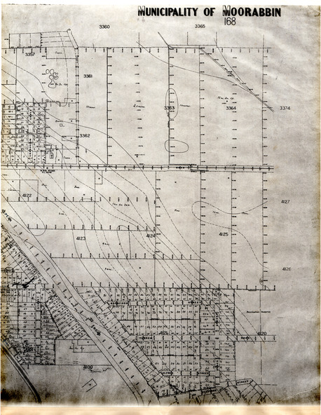
The train line from the city to Frankston was electrified in 1922 which intensified the sale in the municipality of Moorabbin, particularly land which was in the vicinity of the railway stations.
A local Real Estate agent, T. H. Putt used the maps to assist with the selling of the subdivisions of market gardens of the City of Moorabbin.
Significance
Example of the progress of the Municipality of Moorabbin
Physical description
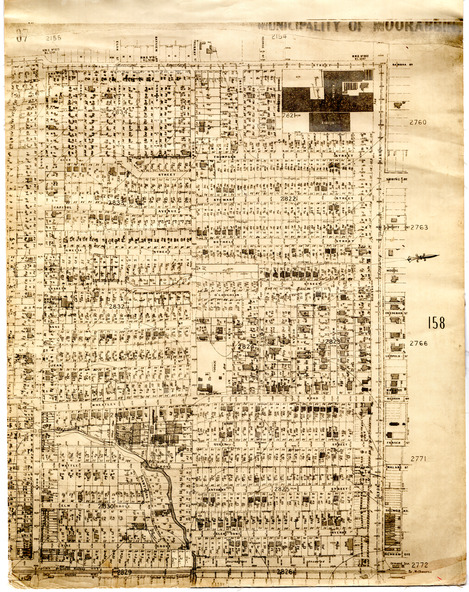
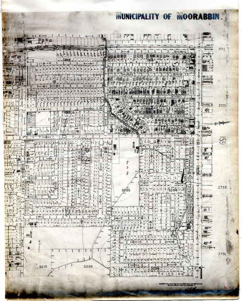
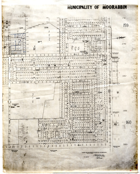
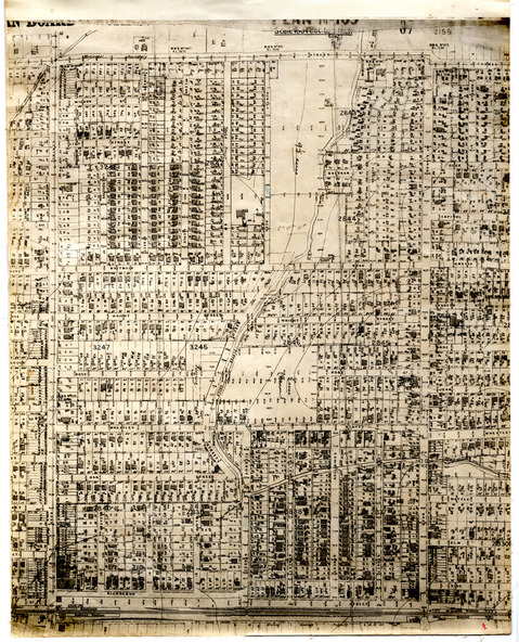
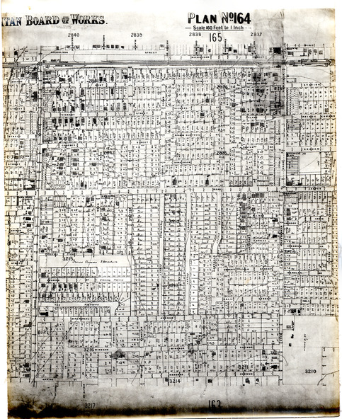
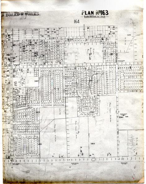
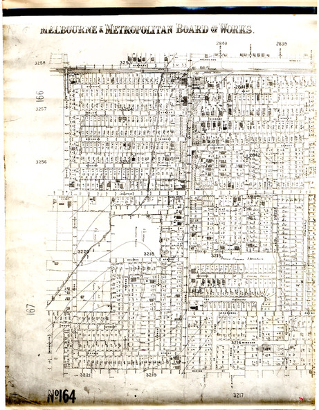
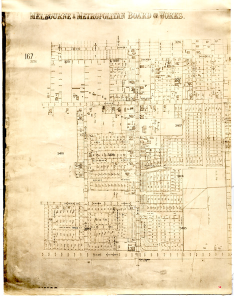
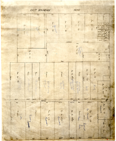
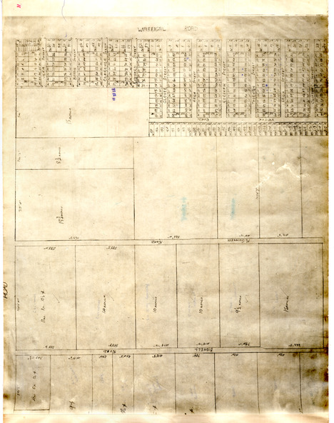
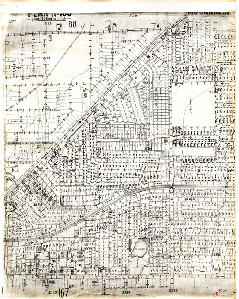
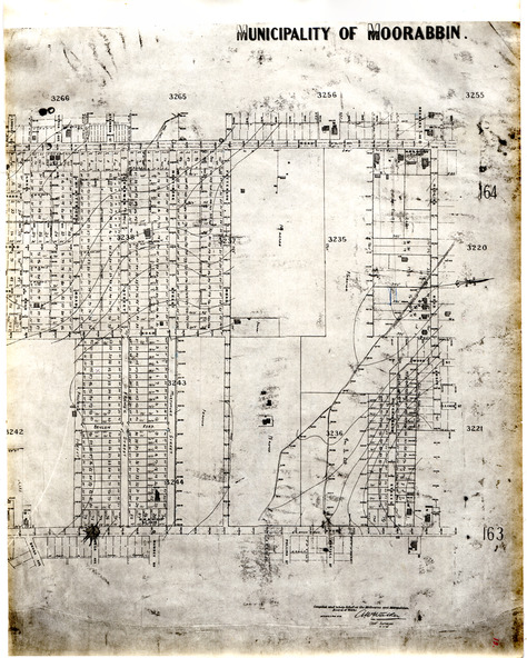
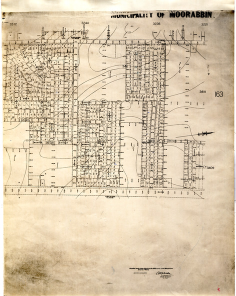
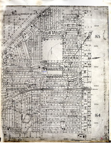
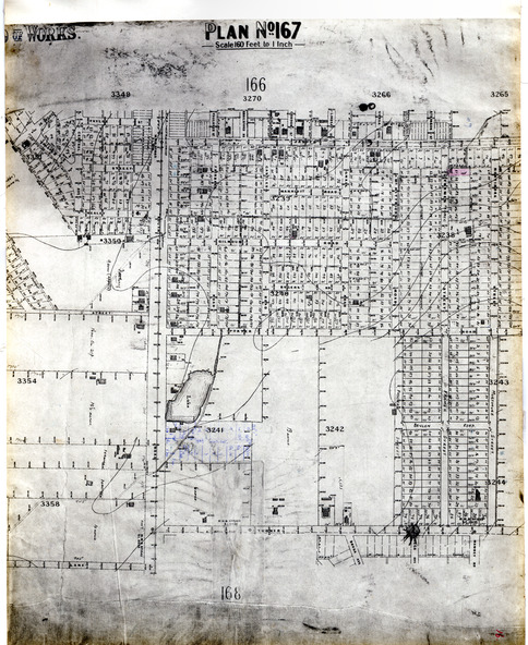
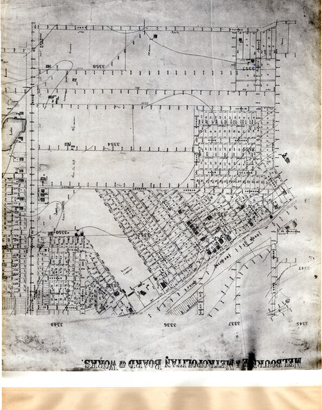
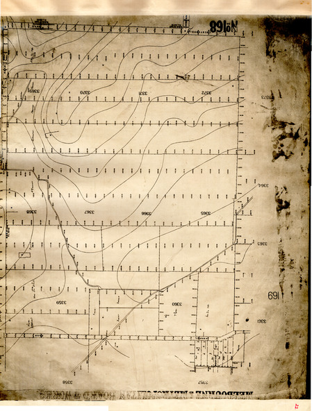
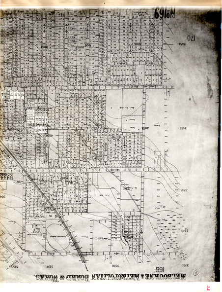
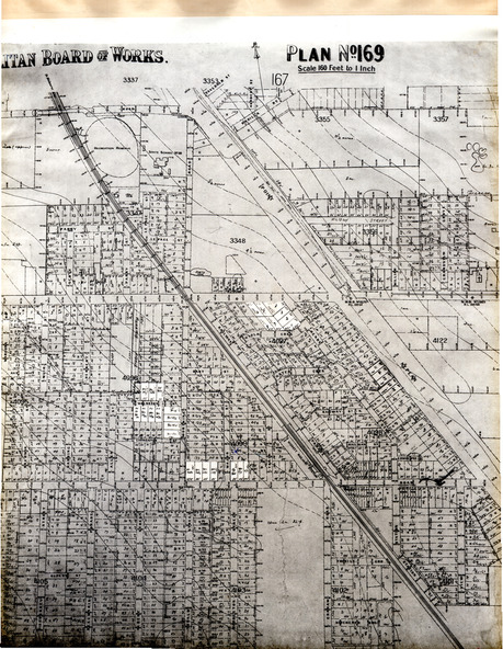
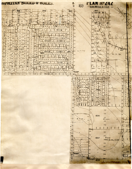
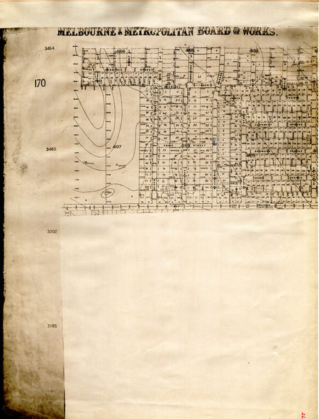
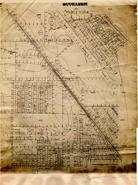
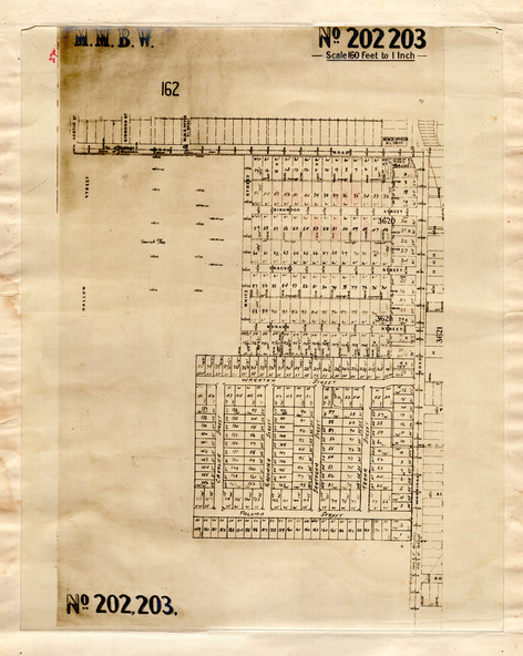
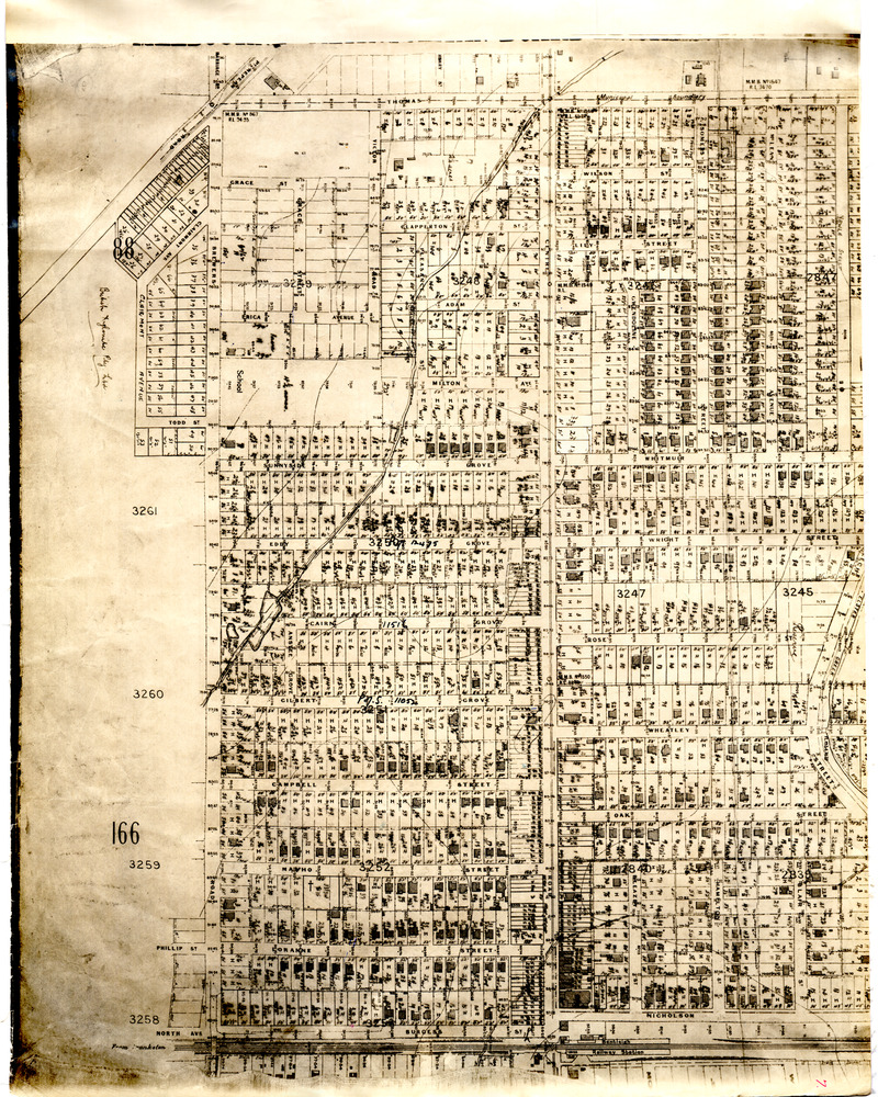
A black folder containing 29 pages of maps of the suburbs of the City of Moorabbin.
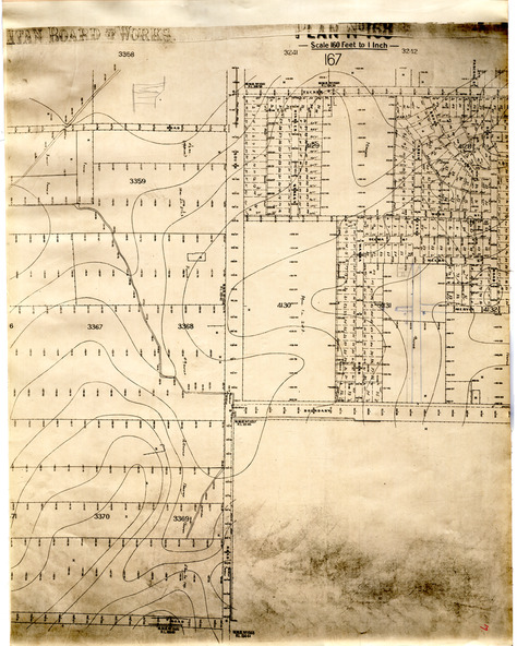
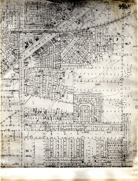
The maps are sections of Melbourne and Metropolitan Board of Works (MMBW) plans which were produced from the 1890s to the 1950s. These maps were used to the design and development of Melbourne's sewerage and drainage system. The maps in the book were most likely from the maps produced in the mid 1930’s. Some of the MMBW maps have had extra subdivisions and information, such as measurements, owners names, and street names have been added.
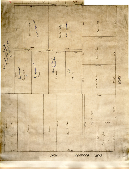
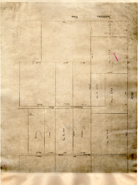
There are four maps which have been hand drawn and cover the part of East Bentleigh bordered by East Boundary Road, Centre Road, Warrigal Road and South Road. At the time this area was still market gardens.
The maps have been mounted on material by J. Creffield Pty Ltd, 171 King Street, Melbourne Victoria. Creffield Pty Ltd, was a firm of map mounters, heliographers and printers, which commenced business in 1988. The company still operates today (2025) in West Melbourne as Creffield Digital Print.