

Physical description
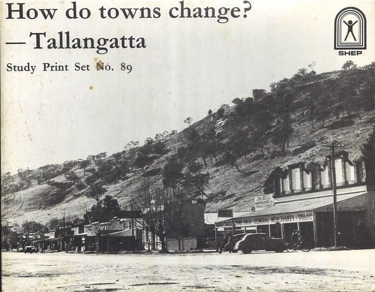
A set of 89 Photographs, maps and information sheets produced as a case study of the moving of the town of Tallangatta in the 1950s. It was created as a resource to enable secondary school students to investigate how towns can change over time.
Publication type
non-fiction
Summary
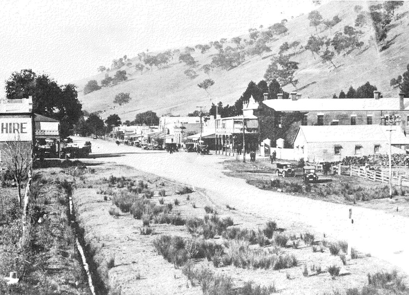
The Tallangatta pastoral run was established in 1838. By the 1850s a thriving town had been established near the junction of the Mitta Mitta River and Tallangatta Creek.
Officially named in 1854, Tallangatta became a vital gateway to nearby goldfields such as Mount Wills, Mitta Mitta, and Cravensville. It also grew as a service centre to the pastoralists in the surrounding area.
Rail reached Tallangatta in 1891, doubling the population within a decade. A mile-long viaduct took two years to complete. The railway brought jobs and connected local mining and farming industries to broader markets.
From 1918, Tallangatta's future was uncertain. Plans for a reservoir at the confluence of the Mitta Mitta and Murray Rivers threatened the town. Stage one of Lake Hume was completed in 1936, sparing the town temporarily. After WWII, demand for irrigation water rose—and residents were told the town would be flooded.
Between 1952 and 1958, Tallangatta was relocated. The State Rivers and Water Supply Commission oversaw the move with a £3 million budget. Over 100 timber homes were relocated, 37 brick homes rebuilt, and 74 prefabricated houses brought in. Thirty-five new buildings were added, including hotels, banks, a butter factory, a hospital, and a modern shopping centre.
The new town of Tallangatta was officially reopened by Governor Sir William Slim on June 29, 1956.
In 2016, Tallangatta was designated a "Notable Town" by the National Trust for its architectural and historical significance, making it the second town to receive this honour.