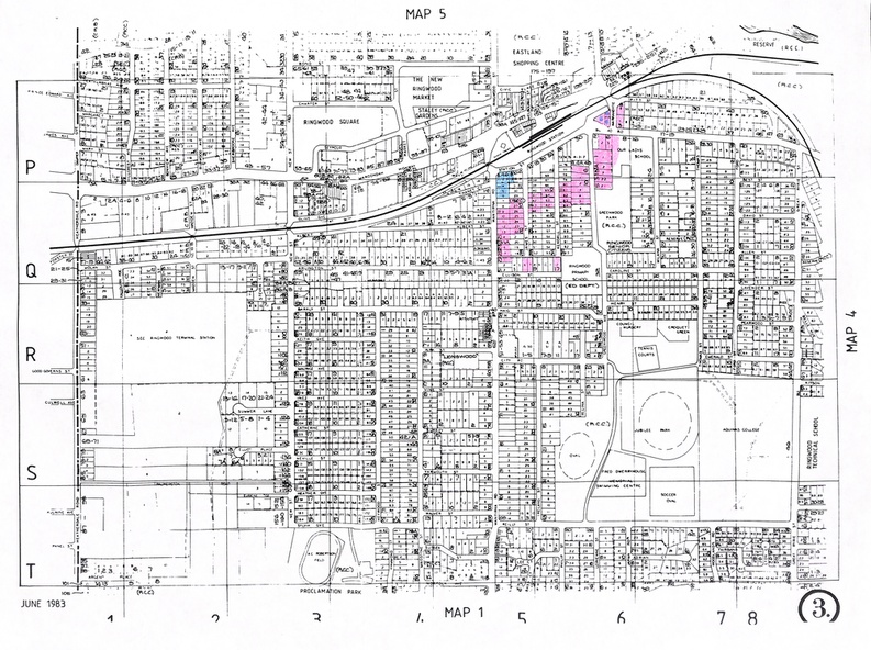
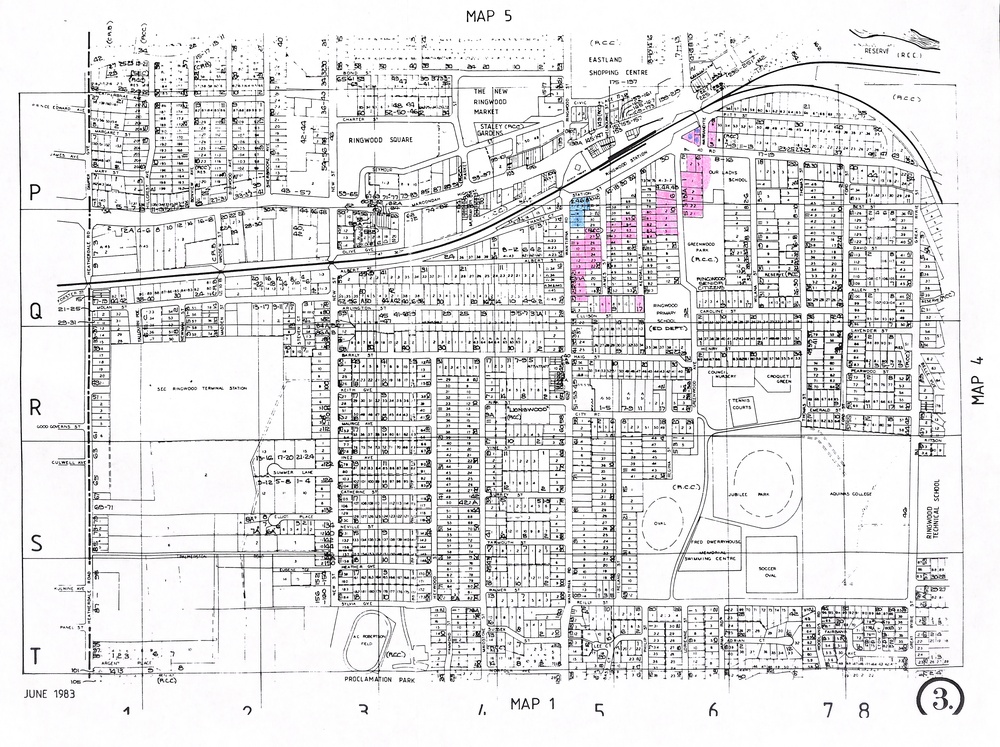
Document - A3 Photocopy, Department of Lands and Survey Map of Central and Southern Ringwood - June, 1983
Untitled image
Reuse this media
Can you reuse this media without permission?Yes
Conditions of use
Attribution-NonCommercial-ShareAlike 4.0 International (CC BY-NC-SA 4.0)
This media item is licensed under Attribution-NonCommercial-ShareAlike 4.0 International (CC BY-NC-SA 4.0). You may share (i.e. copy, distribute, transmit) and rework (i.e. alter, transform, build upon) this item provided that you attribute the content source and copyright holder, and identify any alterations; do not use the content for commercial purposes; and distribute the reworked content under the same or similar license.
Attribution
Please acknowledge the item’s source, creator and title (where known)
Numbered residential and commercial allotments mainly between Heatherdale Road and Great Ryrie Street and from Ringwood Square, Ringwood Market and Eastland shopping precinct in the north to Jubilee Park and Proclamation Park in the south.