Historical information
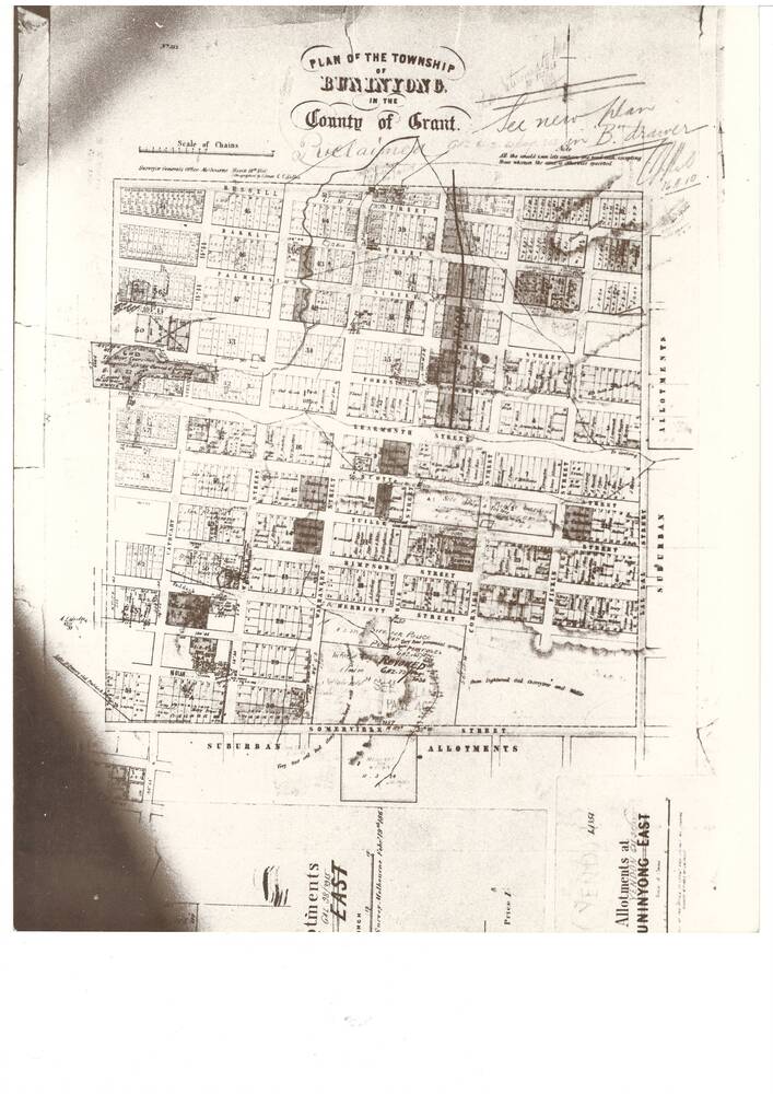
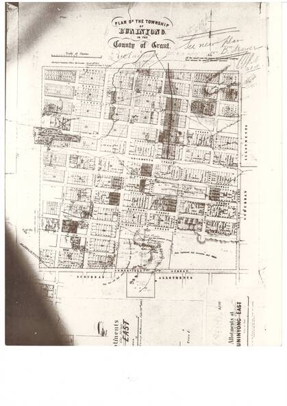
A photograph of the Plan of the Township of Buninyong from the Surveyor Generals Office Melbourne March 1856
Significance
The map is one of the earliest of Buninyong and shows some notations indicating some allocations of land that were revoked and possibly the location of tannery dam
Physical description
A black and white photograph showing the Plan of the Township of Buninyong
Inscriptions & markings
"Plan of the Township of Buninyong County of Grant", Surveyor Generals Office Melbourne 18th March 1856, various handwritten notations
Subjects
References
- Three Times Blest Peter M. Griffiths ISBN/ISSN: 0 9593044 1 X