Historical information
The first two pages behind the cover sheet describes a Catalogue of maps in storage at FARELF on Singapore Island prior to the Japanese Invasion.
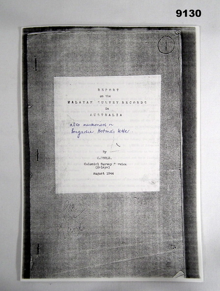
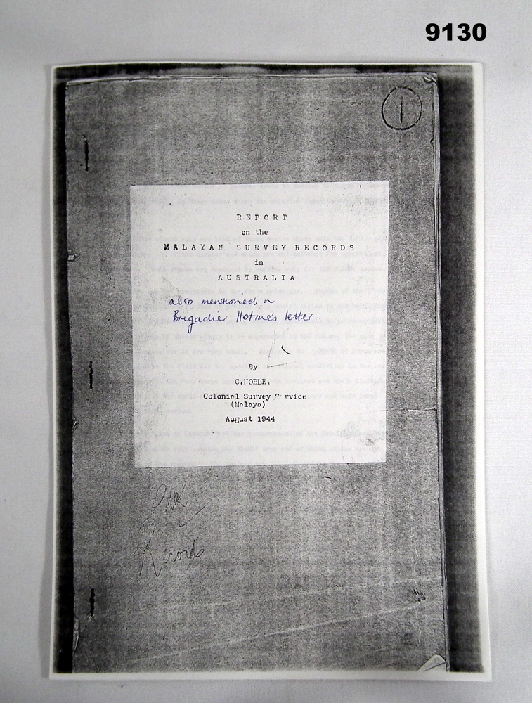
This report deals with the results of examination and assessment of the Malayan Survey Records brought out of Malaya a few days before the fall of Singapore in February 1942 and now stored in safe custody by LHQ Cartographic Coy in Bendigo, Victoria, Australia. The Report was written by C. Noble, Colonial Survey Service (Malaya) in August 1944.
The report was prepared as a result of a request from the Secretary of State for the Colonies, through the High Commissioner for the United Kingdom. The Terms of Reference were: "To undertake a complete stocktaking and overhaul of the Malayan Survey Records in Australia and for the preparation of a full report for the information of the Colonial Office and that of the Malayan Civil Affairs" The report was prepared in six parts. Part 1 - Introduction, Part 2 - Topographical Maps, Part 3 - State Maps and Special Maps, Part 4 - Trigonomical Data etc, Part 5 - Johore Revenue Survey Sheets, Part 6 - General Recommendations.
Physical description
12 x randomly numbered A4 photocopied pages stapled in top left hand corner
Inscriptions & markings
Hand written in blue biro, "also mentioned in Brigadier Hotine's Letter"