Historical information
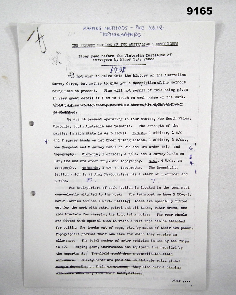
This is the record of a presentation by Major TA Vance who was Officer Commanding the Australian Survey Corps 1936 to 1940 to the Victorian Institute of Surveyors. The paper describes in detail the mapping methods currently used by the Australian Survey Corps in about 1938. Topics describes include: 1. Geodetic or 1st Order triangulation. 2. Second and third order triangulation. 3. Traversing, levelling and fixing horizontal and vertical control for aerial photographs. 4. Plotting and contouring from aerial photographs. 5. Draughting. and 6. Reproduction.
Physical description
17 x A4 photocopied pages of typed text
Inscriptions & markings
Title handwritten on first page "Mapping Methods - Pre WWII Topographers" and on page 11 "Laplace Azimuth" is added near a full description of the subject.