


Physical description
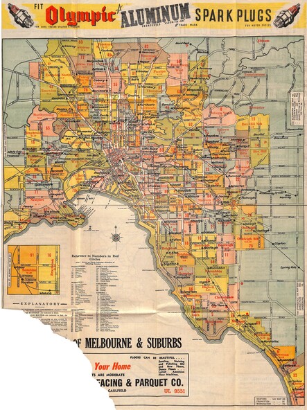
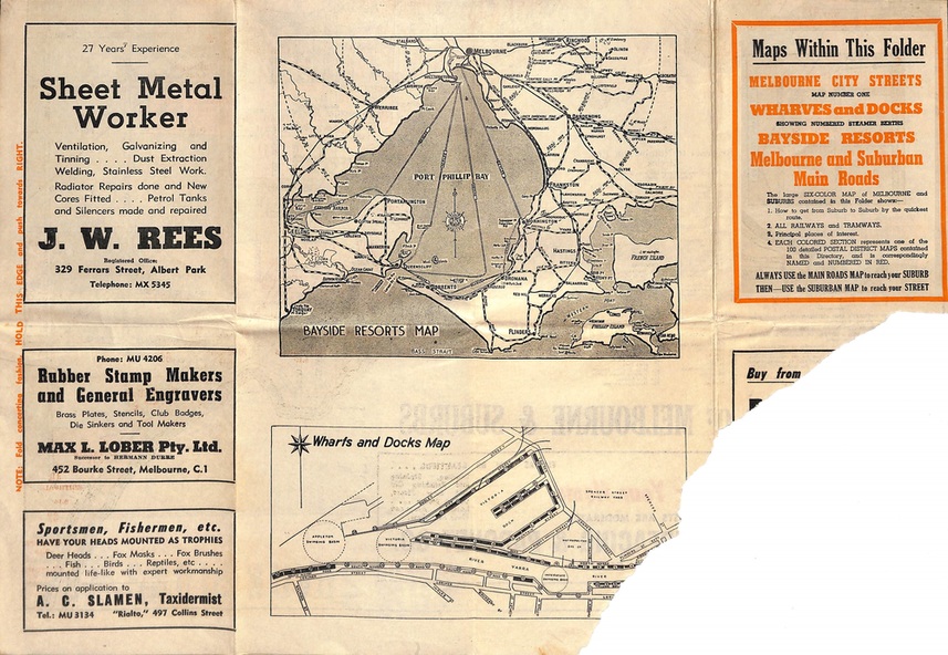
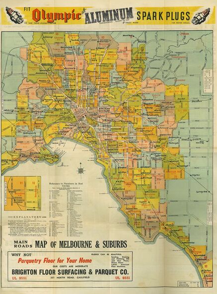
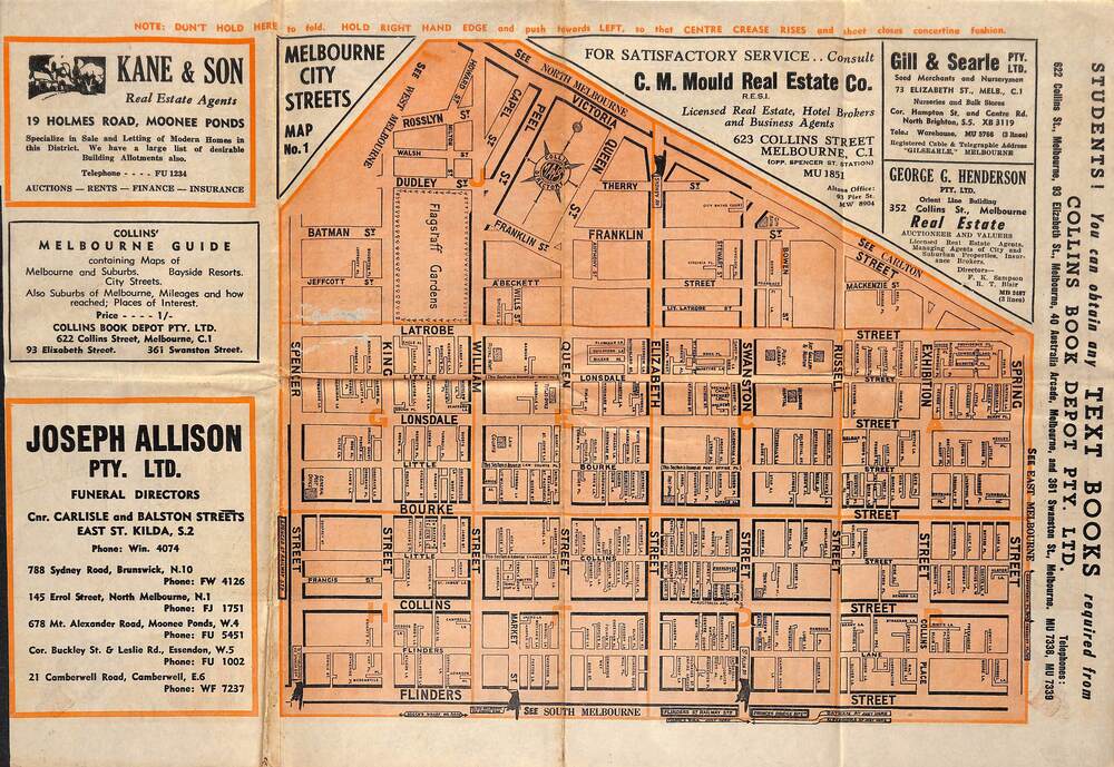
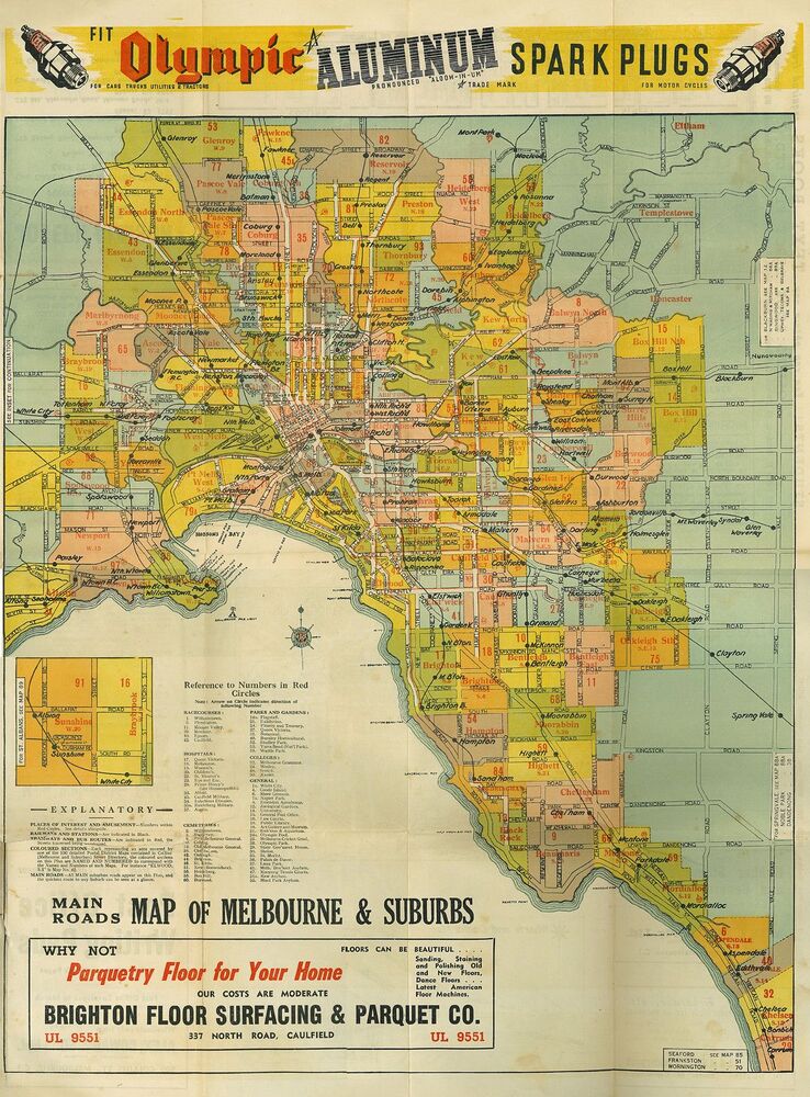
Partially damaged double-sided multi-fold poster-size flyer with Melbourne map showing Collins Street Directory 1950 page references. Railway lines include Inner Circle Line sections (closed 1981) and Outer Circle Line sections (closed 1945). Insets include commercial advertising, information, and maps of Melbourne City Streets, Bayside Resorts, and Wharfs & Docks.
Inscriptions & markings
Collins Directory Maps compass rose logo. Folding instructions - "Note: Don't hold here to fold. Hold right hand edge and push towards left, so that centre crease rises and sheet closes concertina fashion." Map reference headings include Racecourses, Hospitals, Cemeteries, Parks & Gardens, Colleges, and General.