

Physical description
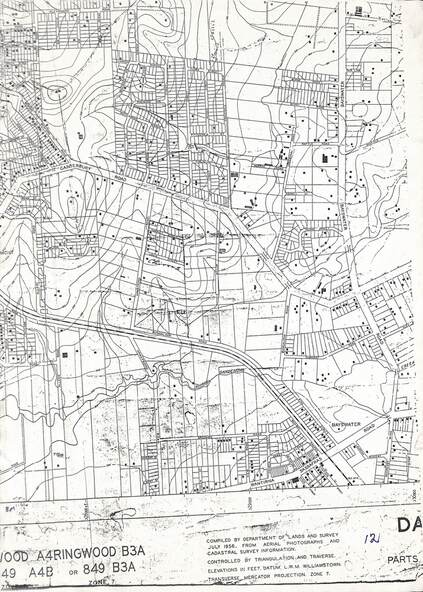
Cutaway section of black & white Dandenong Ranges Area survey map with countour lines centred over Bedford Road and Canterbury Road, Heathmont, and Bayswater Road and Wantirna-Sassafras Road (Mountrain Highway) Bayswater, Victoria. Chivers property marked on Armstrong Road, Heathmont.
Inscriptions & markings
Caption: "Compiled by Department of Lands and Survey July 1956, from aerial photographs and cadastral survey informaton. Controlled by triangulation and traverse. Elevations in feet. Datum. L.W.M. Williamstown. Transverse , Mercator Projection. Zone 7."
